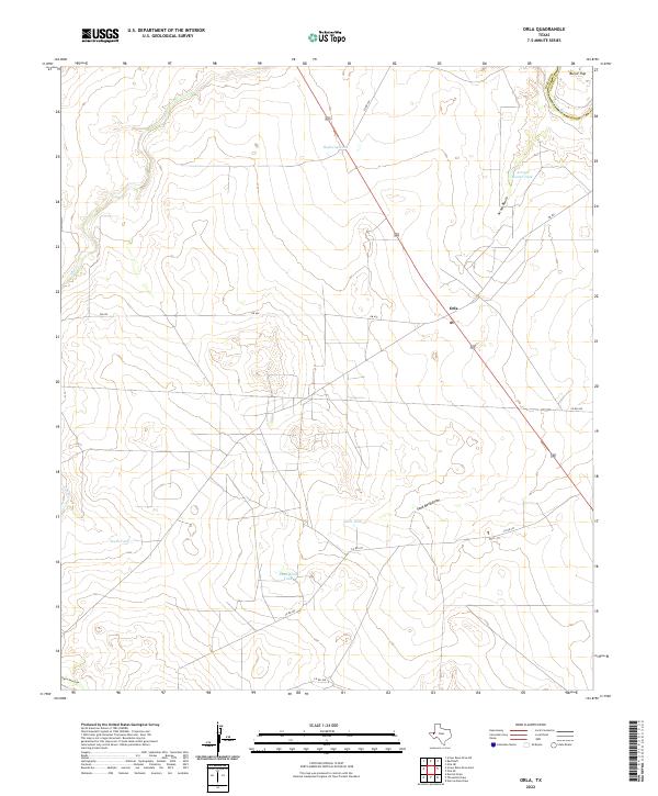
2022 Map of Orla
USGS Topo · Published 2022About this map
Orla serves as the primary focal point of this West Texas landscape, situated at the junction of modern infrastructure and the traditional arid geography of the Permian Basin. The map details a complex network of water management features essential for life and industry in this environment, including Highway Tank, Little Tank, and Sand-Bend Tank. These man-made catchments are interspersed with natural drainage systems like the meandering Salt Cr and the prominent Sand Bend Draw.
Find a feature on this map
19 named features on this map. Tap any name to fly to it.
Don’t see what you’re looking for? This feature index may not catch every label — zoom into the map to look around manually.
Map Details
Editions of this 2022 Orla Map
This is the sole edition of this map. No revisions or reprints were ever made.
Other maps of this area

1925 · Orla 2-b
USGS Topo · 1:48,000

1931 · Orla
USGS Topo · 1:62,500

1954 · Van Horn
USGS Topo · 1:250,000

1954 · Pecos
USGS Topo · 1:250,000

1957 · Pecos
USGS Topo · 1:250,000

1958 · Van Horn
USGS Topo · 1:250,000

1961 · Orla SE
USGS Topo · 1:24,000

1961 · Narrow Bow Draw
USGS Topo · 1:24,000

1968 · Threemile Draw
USGS Topo · 1:24,000

1968 · Orla
USGS Topo · 1:24,000