
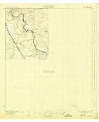
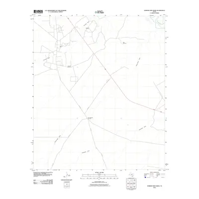
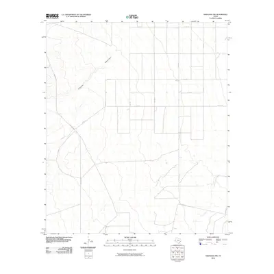
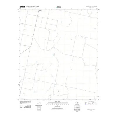
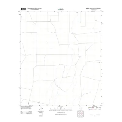
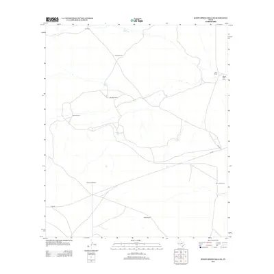
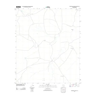
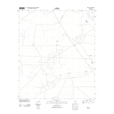
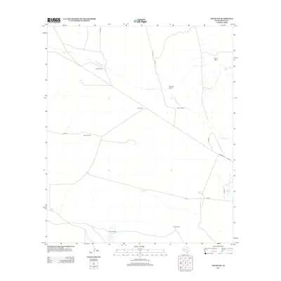
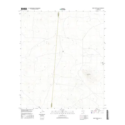
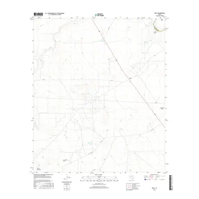
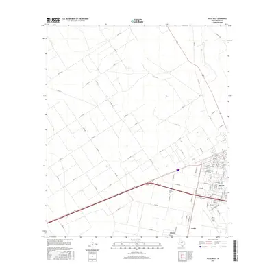
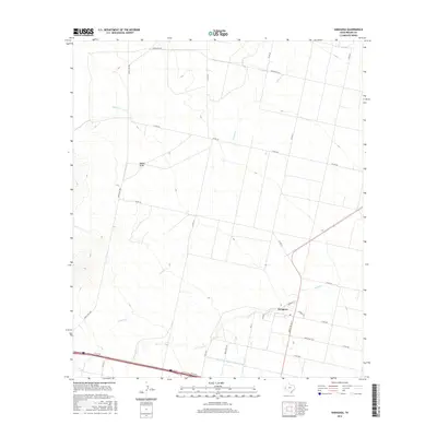
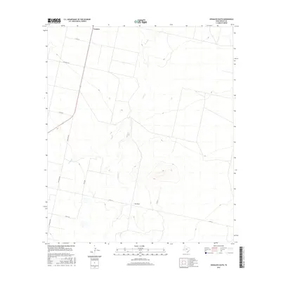
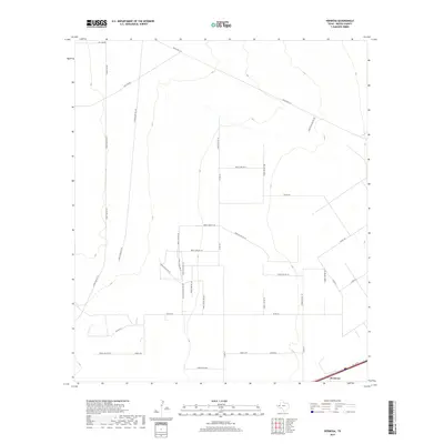
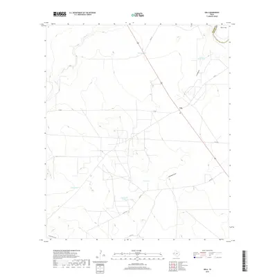
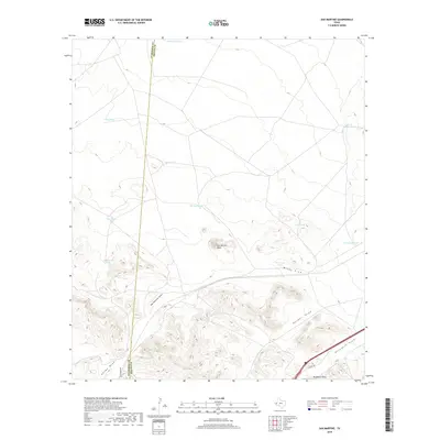
1931 Map of Orla
USGS Topo · Published 1949About this map
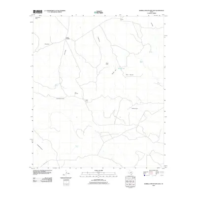
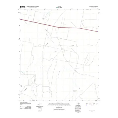
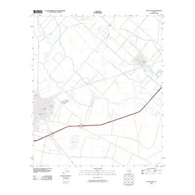
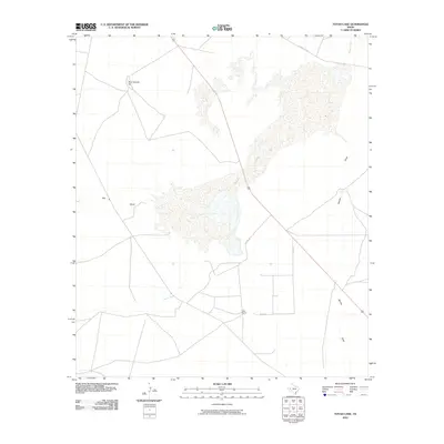
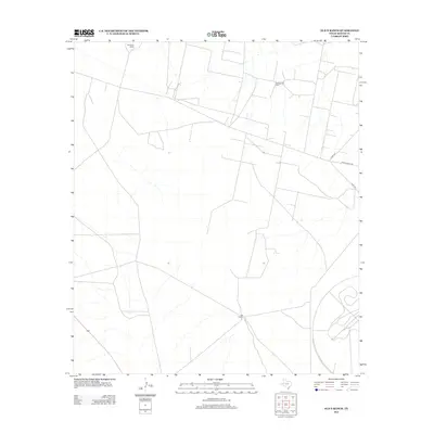
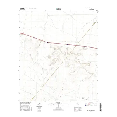
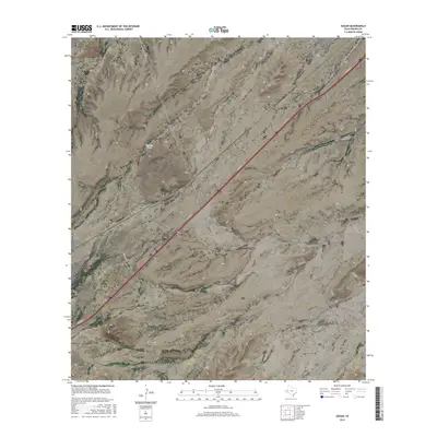
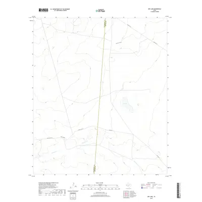
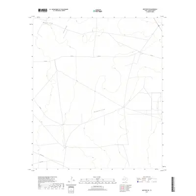
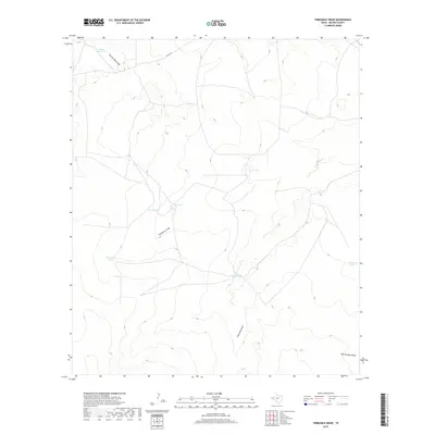
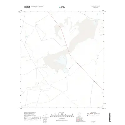
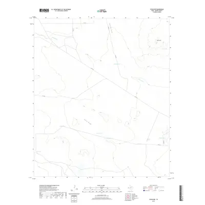
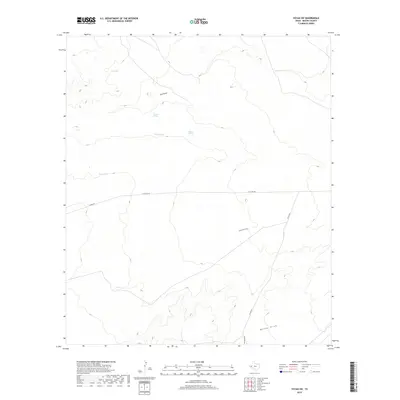
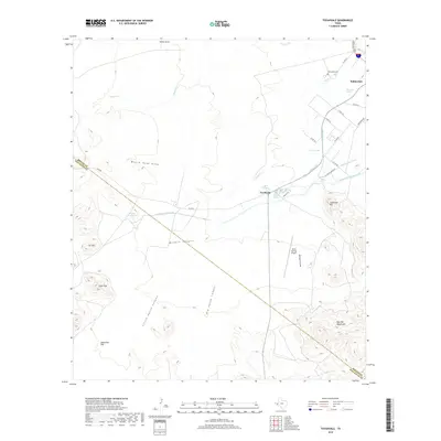
The Pecos River serves as a winding natural spine for this Trans-Pecos landscape, carving its way through the desert near the Texas-New Mexico Boundary Line. Topography compiled by Crawford Dickey and W.B. Brewer in the mid-1920s reveals a region defined by its arid drainage patterns and sparse rail-dependent settlements. The Panhandle and Santa Fe railroad cuts a straight path across the western terrain, passing through Angeles and providing the primary connection to the outside world for the local ranching economy. South of the river, Salt Draw drains toward the Olds Ranch, a named landmark that underscores the isolated nature of frontier life in Reeves Co and Loving Co. A significant portion of the lower sheet is designated as an Unsurveyed Area, reflecting the remoteness of the territory during this period of early aerial survey work by the Army Air Corps.
Find a feature on this map
10 named features on this map. Tap any name to fly to it.
Don’t see what you’re looking for? This feature index may not catch every label — zoom into the map to look around manually.
Map Details
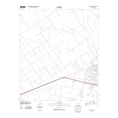
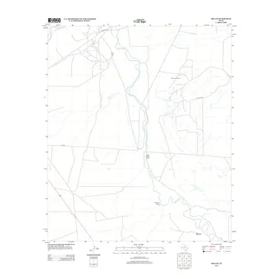
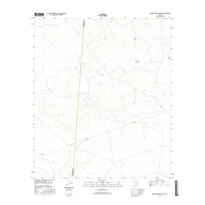
Editions of this 1931 Orla Map
2 editions found
Historical Maps of Robinson Arms Landing Through Time
255 maps found

1925 Orla 2-b
Reeves County, TX
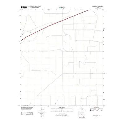
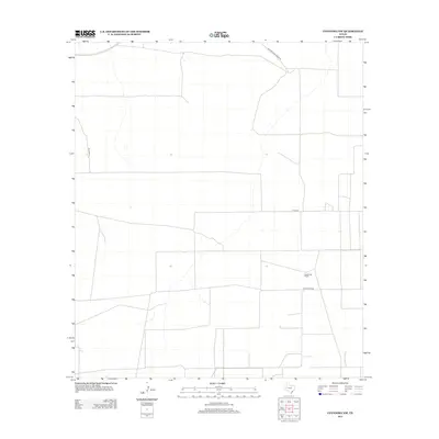
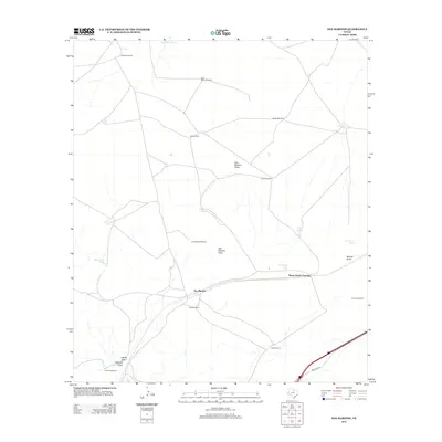
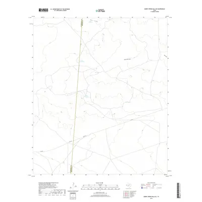
1931 Orla
Reeves County, TX

1955 Saragosa
Reeves County, TX

1961 Anderson Ranch
Reeves County, TX

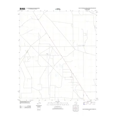
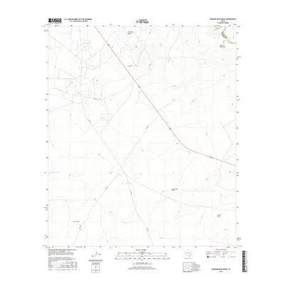
1961 Narrow Bow Draw
Reeves County, TX

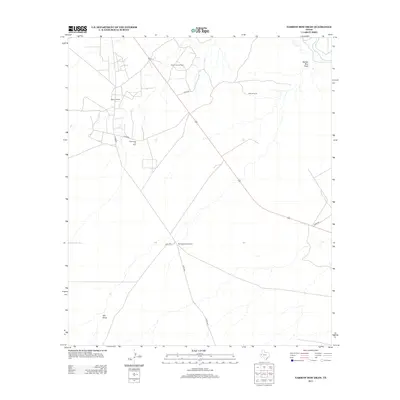
1961 Orla SE
Reeves County, TX

1961 Sand Lake
Reeves County, TX

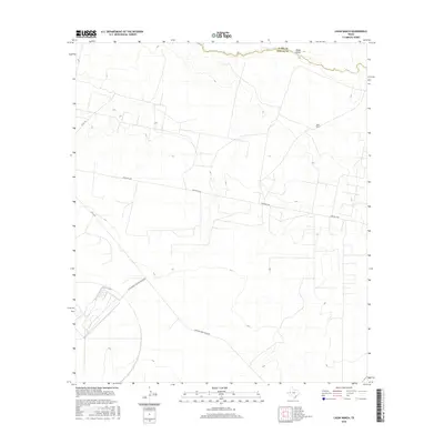
1963 Ligon Ranch
Reeves County, TX

1963 Old X Ranch
Reeves County, TX

1963 Pecos East
Reeves County, TX

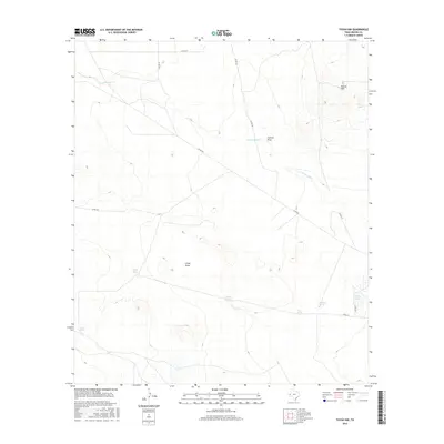
1963 Toyah Lake
Reeves County, TX

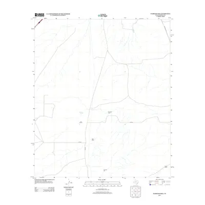
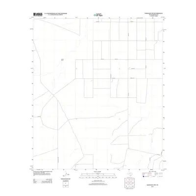
1968 Halamicek Ranch
Reeves County, TX

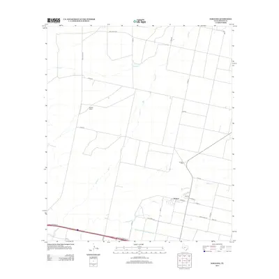
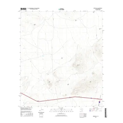
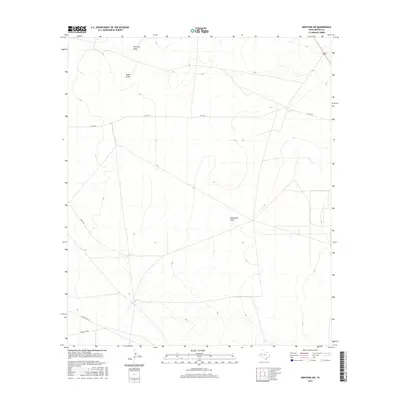
1968 Mentone SW
Reeves County, TX

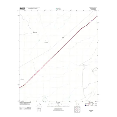
1968 Orla
Reeves County, TX

1968 Red Bluff
Reeves County, TX

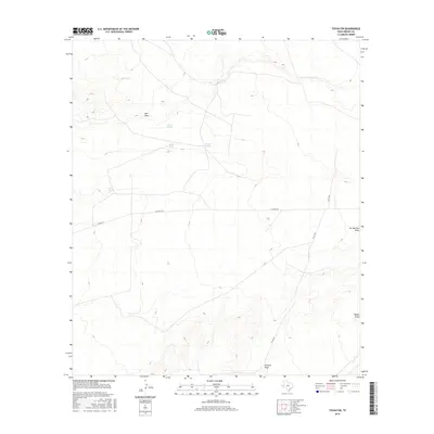
1968 Threemile Draw
Reeves County, TX

1968 W T Ranch
Reeves County, TX

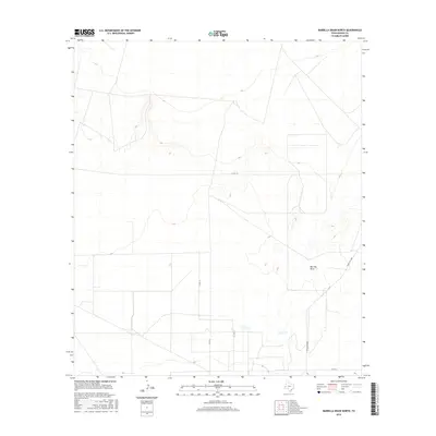
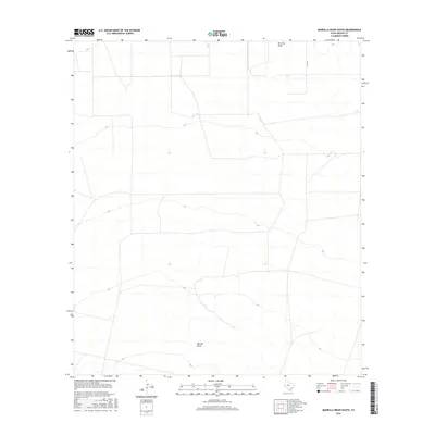
1970 Barrilla Draw North
Reeves County, TX

1970 Barrilla Draw South
Reeves County, TX

1970 Big Hill
Reeves County, TX

1970 Deep Well Ranch NW
Reeves County, TX

1970 East Of Barrilla Draw North
Reeves County, TX

1970 Florenzo Hill
Reeves County, TX

1970 Gozar
Reeves County, TX

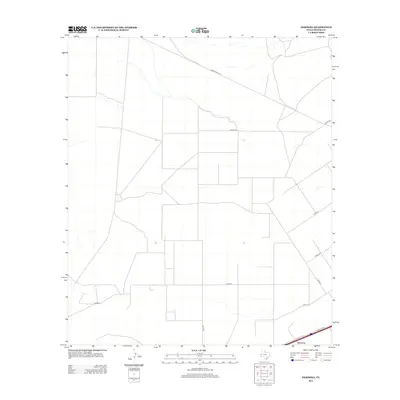
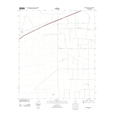
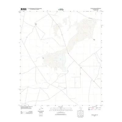
1970 Hermosa
Reeves County, TX

1970 Hermosa SW
Reeves County, TX

1970 Meier Hills
Reeves County, TX

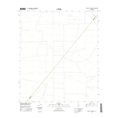
1970 North of Tucker Hill
Reeves County, TX

1970 San Martine
Reeves County, TX

1970 Saragosa NW
Reeves County, TX

1970 Saragosa
Reeves County, TX

1970 Sotol Hill
Reeves County, TX

1970 Toyah NW
Reeves County, TX

1970 Toyah SW
Reeves County, TX

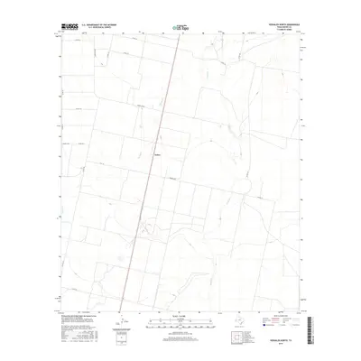
1970 Verhalen South
Reeves County, TX

1971 Pecos West
Reeves County, TX

1971 Verhalen North
Reeves County, TX

1971 Worsham
Reeves County, TX

1972 Toyahvale
Reeves County, TX

1973 Burnt Spring Hills
Reeves County, TX

1973 Burnt Spring Hills SE
Reeves County, TX

1973 Coyanosa NW
Reeves County, TX

1973 Dry Lake
Reeves County, TX

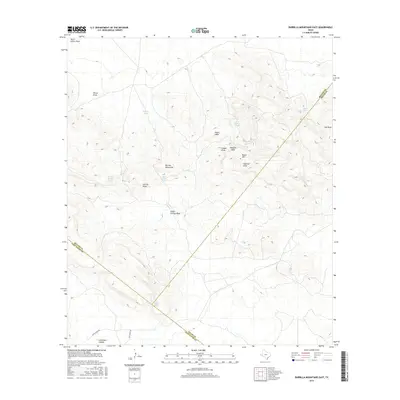
1980 Barrilla Mountains East
Reeves County, TX

1980 Cox Draw
Reeves County, TX
2010 Anderson Ranch
Reeves County, TX
2010 Barrilla Draw North
Reeves County, TX
2010 Barrilla Draw South
Reeves County, TX
2010 Barrilla Mountains East
Reeves County, TX
2010 Big Hill
Reeves County, TX
2010 Burnt Spring Hills
Reeves County, TX
2010 Burnt Spring Hills SE
Reeves County, TX
2010 Cox Draw
Reeves County, TX
2010 Coyanosa NW
Reeves County, TX
2010 Deep Well Ranch NW
Reeves County, TX
2010 Dry Lake
Reeves County, TX
2010 East of Barrilla Draw North
Reeves County, TX
2010 Florenzo Hill
Reeves County, TX
2010 Gozar
Reeves County, TX
2010 Halamicek Ranch
Reeves County, TX

2010 Hermosa
Reeves County, TX
2010 Hermosa SW
Reeves County, TX
2010 Ligon Ranch
Reeves County, TX
2010 Meier Hills
Reeves County, TX
2010 Mentone SW
Reeves County, TX
2010 Narrow Bow Draw
Reeves County, TX
2010 North of Tucker Hill
Reeves County, TX
2010 Old X Ranch
Reeves County, TX
2010 Orla
Reeves County, TX

2010 Orla SE
Reeves County, TX
2010 Pecos East
Reeves County, TX
2010 Pecos West
Reeves County, TX

2010 Red Bluff
Reeves County, TX
2010 Sand Lake
Reeves County, TX
2010 San Martine
Reeves County, TX
2010 Saragosa NW
Reeves County, TX
2010 Saragosa
Reeves County, TX
2010 Sotol Hill
Reeves County, TX
2010 Threemile Draw
Reeves County, TX
2010 Toyah Lake
Reeves County, TX
2010 Toyah NW
Reeves County, TX
2010 Toyah SW
Reeves County, TX

2010 Toyahvale
Reeves County, TX
2010 Verhalen North
Reeves County, TX
2010 Verhalen South
Reeves County, TX
2010 Worsham
Reeves County, TX
2010 W T Ranch
Reeves County, TX
2012 Barrilla Draw North
Reeves County, TX
2012 Barrilla Draw South
Reeves County, TX
2012 Barrilla Mountains East
Reeves County, TX
2012 Big Hill
Reeves County, TX
2012 Burnt Spring Hills
Reeves County, TX
2012 Burnt Spring Hills SE
Reeves County, TX
2012 Cox Draw
Reeves County, TX
2012 Deep Well Ranch NW
Reeves County, TX
2012 Dry Lake
Reeves County, TX
2012 Florenzo Hill
Reeves County, TX
2012 Halamicek Ranch
Reeves County, TX
2012 Hermosa
Reeves County, TX
2012 Hermosa SW
Reeves County, TX
2012 Ligon Ranch
Reeves County, TX
2012 Meier Hills
Reeves County, TX
2012 Mentone SW
Reeves County, TX
2012 North of Tucker Hill
Reeves County, TX
2012 Old X Ranch
Reeves County, TX
2012 Pecos East
Reeves County, TX
2012 Pecos West
Reeves County, TX
2012 Sotol Hill
Reeves County, TX
2012 Threemile Draw
Reeves County, TX

2012 Toyahvale
Reeves County, TX
2012 Verhalen North
Reeves County, TX
2012 Verhalen South
Reeves County, TX
2012 W T Ranch
Reeves County, TX

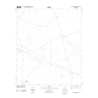
2013 Anderson Ranch
Reeves County, TX
2013 Coyanosa NW
Reeves County, TX
2013 East of Barrilla Draw North
Reeves County, TX
2013 Gozar
Reeves County, TX
2013 Narrow Bow Draw
Reeves County, TX
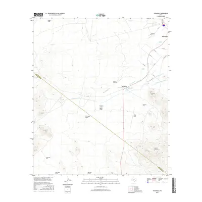
2013 Orla
Reeves County, TX
2013 Orla SE
Reeves County, TX
2013 Red Bluff
Reeves County, TX
2013 Sand Lake
Reeves County, TX
2013 San Martine
Reeves County, TX
2013 Saragosa NW
Reeves County, TX
2013 Saragosa
Reeves County, TX
2013 Toyah Lake
Reeves County, TX
2013 Toyah NW
Reeves County, TX
2013 Toyah SW
Reeves County, TX
2013 Worsham
Reeves County, TX
2016 Anderson Ranch
Reeves County, TX
2016 Barrilla Draw North
Reeves County, TX
2016 Barrilla Draw South
Reeves County, TX
2016 Barrilla Mountains East
Reeves County, TX
2016 Big Hill
Reeves County, TX
2016 Burnt Spring Hills
Reeves County, TX
2016 Burnt Spring Hills SE
Reeves County, TX
2016 Cox Draw
Reeves County, TX
2016 Coyanosa NW
Reeves County, TX
2016 Deep Well Ranch NW
Reeves County, TX
2016 Dry Lake
Reeves County, TX
2016 East of Barrilla Draw North
Reeves County, TX
2016 Florenzo Hill
Reeves County, TX
2016 Gozar
Reeves County, TX
2016 Halamicek Ranch
Reeves County, TX
2016 Hermosa
Reeves County, TX
2016 Hermosa SW
Reeves County, TX
2016 Ligon Ranch
Reeves County, TX
2016 Meier Hills
Reeves County, TX
2016 Mentone SW
Reeves County, TX
2016 Narrow Bow Draw
Reeves County, TX
2016 North of Tucker Hill
Reeves County, TX
2016 Old X Ranch
Reeves County, TX
2016 Orla
Reeves County, TX

2016 Orla SE
Reeves County, TX
2016 Pecos East
Reeves County, TX
2016 Pecos West
Reeves County, TX
2016 Red Bluff
Reeves County, TX
2016 Sand Lake
Reeves County, TX

2016 San Martine
Reeves County, TX
2016 Saragosa NW
Reeves County, TX
2016 Saragosa
Reeves County, TX
2016 Sotol Hill
Reeves County, TX
2016 Threemile Draw
Reeves County, TX
2016 Toyah Lake
Reeves County, TX
2016 Toyah NW
Reeves County, TX
2016 Toyah SW
Reeves County, TX
2016 Toyahvale
Reeves County, TX
2016 Verhalen North
Reeves County, TX
2016 Verhalen South
Reeves County, TX
2016 Worsham
Reeves County, TX
2016 W T Ranch
Reeves County, TX

2019 Anderson Ranch
Reeves County, TX
2019 Barrilla Draw North
Reeves County, TX
2019 Barrilla Draw South
Reeves County, TX
2019 Barrilla Mountains East
Reeves County, TX
2019 Big Hill
Reeves County, TX
2019 Burnt Spring Hills
Reeves County, TX
2019 Burnt Spring Hills SE
Reeves County, TX
2019 Cox Draw
Reeves County, TX
2019 Coyanosa NW
Reeves County, TX
2019 Deep Well Ranch NW
Reeves County, TX
2019 Dry Lake
Reeves County, TX
2019 East of Barrilla Draw North
Reeves County, TX
2019 Florenzo Hill
Reeves County, TX
2019 Gozar
Reeves County, TX

2019 Halamicek Ranch
Reeves County, TX
2019 Hermosa
Reeves County, TX
2019 Hermosa SW
Reeves County, TX
2019 Ligon Ranch
Reeves County, TX
2019 Meier Hills
Reeves County, TX
2019 Mentone SW
Reeves County, TX
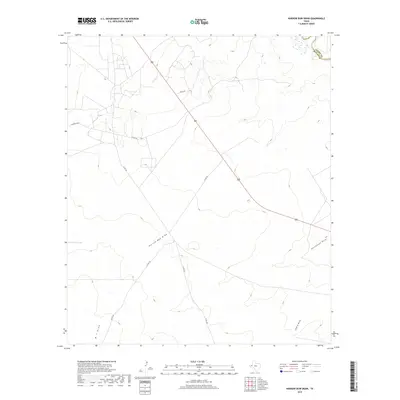
2019 Narrow Bow Draw
Reeves County, TX
2019 North of Tucker Hill
Reeves County, TX
2019 Old X Ranch
Reeves County, TX
2019 Orla
Reeves County, TX

2019 Orla SE
Reeves County, TX
2019 Pecos East
Reeves County, TX
2019 Pecos West
Reeves County, TX

2019 Red Bluff
Reeves County, TX
2019 Sand Lake
Reeves County, TX
2019 San Martine
Reeves County, TX
2019 Saragosa NW
Reeves County, TX
2019 Saragosa
Reeves County, TX
2019 Sotol Hill
Reeves County, TX
2019 Threemile Draw
Reeves County, TX
2019 Toyah Lake
Reeves County, TX
2019 Toyah NW
Reeves County, TX
2019 Toyah SW
Reeves County, TX
2019 Toyahvale
Reeves County, TX
2019 Verhalen North
Reeves County, TX
2019 Verhalen South
Reeves County, TX

2019 Worsham
Reeves County, TX
2019 W T Ranch
Reeves County, TX

2022 Anderson Ranch
Reeves County, TX

2022 Barrilla Draw North
Reeves County, TX

2022 Barrilla Draw South
Reeves County, TX

2022 Barrilla Mountains East
Reeves County, TX

2022 Big Hill
Reeves County, TX

2022 Burnt Spring Hills
Reeves County, TX

2022 Burnt Spring Hills SE
Reeves County, TX

2022 Cox Draw
Reeves County, TX

2022 Coyanosa NW
Reeves County, TX

2022 Deep Well Ranch NW
Reeves County, TX

2022 Dry Lake
Reeves County, TX

2022 East of Barrilla Draw North
Reeves County, TX

2022 Florenzo Hill
Reeves County, TX

2022 Gozar
Reeves County, TX

2022 Halamicek Ranch
Reeves County, TX

2022 Hermosa
Reeves County, TX

2022 Hermosa SW
Reeves County, TX

2022 Ligon Ranch
Reeves County, TX

2022 Meier Hills
Reeves County, TX

2022 Mentone SW
Reeves County, TX

2022 Narrow Bow Draw
Reeves County, TX

2022 North of Tucker Hill
Reeves County, TX

2022 Old X Ranch
Reeves County, TX

2022 Orla
Reeves County, TX

2022 Orla SE
Reeves County, TX

2022 Pecos East
Reeves County, TX

2022 Pecos West
Reeves County, TX

2022 Red Bluff
Reeves County, TX

2022 Sand Lake
Reeves County, TX

2022 San Martine
Reeves County, TX

2022 Saragosa NW
Reeves County, TX

2022 Saragosa
Reeves County, TX

2022 Sotol Hill
Reeves County, TX

2022 Threemile Draw
Reeves County, TX

2022 Toyah Lake
Reeves County, TX

2022 Toyah NW
Reeves County, TX

2022 Toyah SW
Reeves County, TX

2022 Toyahvale
Reeves County, TX

2022 Verhalen North
Reeves County, TX

2022 Verhalen South
Reeves County, TX

2022 Worsham
Reeves County, TX

2022 W T Ranch
Reeves County, TX