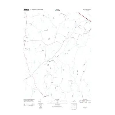
2013 Map of Orlean
USGS Topo · Published 2013About this map
Big Cobbler Mountain and Little Cobbler Mountain dominate the northern landscape of this Fauquier County quadrangle, situated within a region characterized by prominent peaks and several watercourses like Carter Run and Thumb Run. Small rural communities and historic farmsteads are scattered throughout the territory, connected by a network of winding roads such as Leeds Manor Rd and Crest Hill Rd. Key settlements include Orlean, Hume, and Vernon Mills, the latter of which sits near the foot of Thumb Run Mountain.
Find a feature on this map
88 named features on this map. Tap any name to fly to it.
Don’t see what you’re looking for? This feature index may not catch every label — zoom into the map to look around manually.
Map Details
Editions of this 2013 Orlean Map
This is the sole edition of this map. No revisions or reprints were ever made.
Other maps of this area

1893 · Luray
USGS Topo · 1:125,000

1894 · Warrenton
USGS Topo · 1:125,000

1894 · Warrenton
USGS Topo · 1:62,500

1905 · Luray
USGS Topo · 1:125,000

1927 · Remington
USGS Topo · 1:48,000

1930 · Warrenton
USGS Topo · 1:62,500

1939 · Front Royal
USGS Topo · 1:48,000

1943 · Orlean
USGS Topo · 1:24,000

1943 · Marshall
USGS Topo · 1:24,000

1943 · Upperville
USGS Topo · 1:24,000