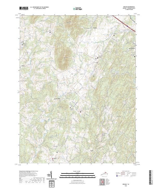
2022 Map of Orlean
USGS Topo · Published 2022About this map
The rolling piedmont of Fauquier County is dominated by the prominent peaks of Big Cobbler Mtn and Little Cobbler Mtn in this 2022 survey. Small settlements such as Orlean, Ashville, and Morgantown anchor a landscape defined by cattle farming and narrow, winding roads. The map reveals a dense concentration of historical family burial grounds, including the Harrison Family Cem and Shumate Family Cem, which offer significant value for genealogical research. Waterways like Carter Run and Thumb Run carve through the terrain, with several church congregations, such as Thumb Run Baptist Church and Saint Andrew Episcopal Church, serving as community landmarks. The inclusion of the Ayres-Alcp Airport and the proximity of Hume further illustrate the mix of agricultural tradition and modern local infrastructure in this part of northern Virginia.
Find a feature on this map
120 named features on this map. Tap any name to fly to it.
Don’t see what you’re looking for? This feature index may not catch every label — zoom into the map to look around manually.
Map Details
Editions of this 2022 Orlean Map
This is the sole edition of this map. No revisions or reprints were ever made.
Other maps of this area

1893 · Luray
USGS Topo · 1:125,000

1894 · Warrenton
USGS Topo · 1:125,000

1894 · Warrenton
USGS Topo · 1:62,500

1905 · Luray
USGS Topo · 1:125,000

1927 · Remington
USGS Topo · 1:48,000

1930 · Warrenton
USGS Topo · 1:62,500

1939 · Front Royal
USGS Topo · 1:48,000

1943 · Orlean
USGS Topo · 1:24,000

1943 · Marshall
USGS Topo · 1:24,000

1943 · Upperville
USGS Topo · 1:24,000