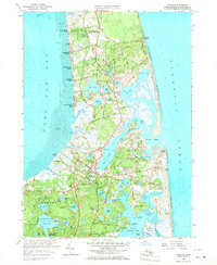
1962 Map of Orleans
USGS Topo · Published 1968About this map
Orleans and Eastham occupy this narrow stretch of the Lower Cape, where the landscape is defined by the transition from the quiet tidal flats of Cape Cod Bay to the exposed Atlantic Ocean. The region's agricultural past is evident in the numerous Cranberry Bogs scattered near East Orleans and the inland kettle ponds like Minister Pond and Great Pond. Transportation patterns at the time centered on the New York New Haven and Hartford rail line, which cuts through the center of the peninsula toward the northern settlements.
Find a feature on this map
128 named features on this map. Tap any name to fly to it.
Don’t see what you’re looking for? This feature index may not catch every label — zoom into the map to look around manually.
Map Details
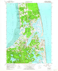
Editions of this 1962 Orleans Map
2 editions found
Other maps of this area

1887 · Wellfleet
USGS Topo · 1:62,500

1887 · Yarmouth
USGS Topo · 1:62,500

1888 · Chatham
USGS Topo · 1:62,500

1889 · Yarmouth
USGS Topo · 1:62,500

1889 · Wellfleet
USGS Topo · 1:62,500

1893 · Chatham
USGS Topo · 1:62,500

1893 · Yarmouth
USGS Topo · 1:62,500

1893 · Wellfleet
USGS Topo · 1:62,500

1917 · Chatham
USGS Topo · 1:62,500

1942 · Cape Cod Bay
USGS Topo · 1:125,000