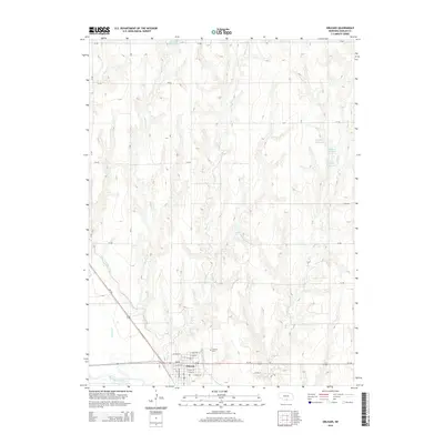
2014 Map of Orleans
USGS Topo · Published 2014About this map
Orleans occupies the southern reach of this Nebraska landscape, situated just north of the Republican River in Harlan County. The town's grid is well-defined by a network of local streets such as E Linn St and E Maple St, while Calvary Cem sits on the northern edge of the settlement. The surrounding terrain is characterized by a series of north-south drainage systems including Milrose Cr, Flag Cr, and Rope Cr, which cut through the agricultural uplands. Water management is a central theme here, evidenced by the Cambridge Canal and several small catchments like Einspahr Reservoir, Flashnick Reservoir, and Richards Reservoir. These features reflect the region's reliance on the Republican River basin for local irrigation and infrastructure during the early 21st century.
Find a feature on this map
29 named features on this map. Tap any name to fly to it.
Don’t see what you’re looking for? This feature index may not catch every label — zoom into the map to look around manually.
Map Details
Editions of this 2014 Orleans Map
This is the sole edition of this map. No revisions or reprints were ever made.
Other maps of this area

1896 · Holdrege
USGS Topo · 1:125,000

1896 · Arapahoe
USGS Topo · 1:125,000

1898 · Arapahoe
USGS Topo · 1:125,000

1955 · Grand Island
USGS Topo · 1:250,000

1957 · Grand Island
USGS Topo · 1:250,000

1957 · Stamford SE
USGS Topo · 1:24,000

1958 · Grand Island
USGS Topo · 1:250,000

1958 · Stamford
USGS Topo · 1:24,000

1958 · Mascot
USGS Topo · 1:24,000

1970 · Ragan
USGS Topo · 1:24,000