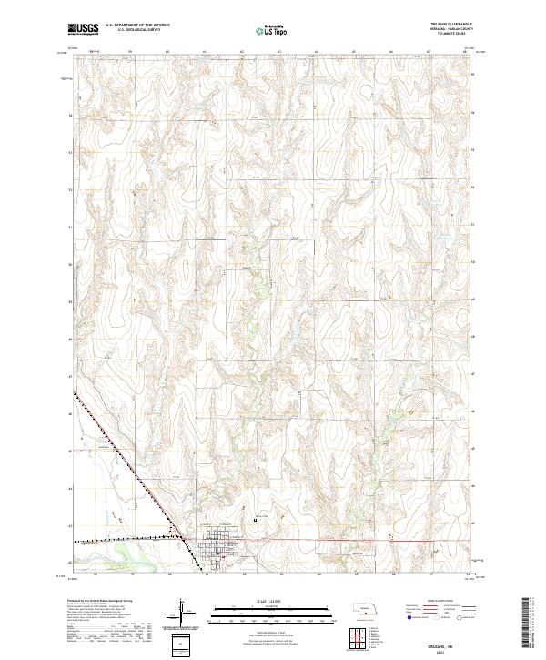
2021 Map of Orleans
USGS Topo · Published 2021About this map
Orleans occupies the southern edge of this Republican River valley landscape, defined by a grid of agricultural section roads and drainage creeks. The town's layout is centered around several core thoroughfares, including S Republican Ave and E North St, with a local Po serving the community. Just north of the village center, Calvary Cem provides a point of genealogical interest for those tracing family roots in Harlan County.
Find a feature on this map
32 named features on this map. Tap any name to fly to it.
Don’t see what you’re looking for? This feature index may not catch every label — zoom into the map to look around manually.
Map Details
Editions of this 2021 Orleans Map
This is the sole edition of this map. No revisions or reprints were ever made.
Other maps of this area

1896 · Holdrege
USGS Topo · 1:125,000

1896 · Arapahoe
USGS Topo · 1:125,000

1898 · Arapahoe
USGS Topo · 1:125,000

1955 · Grand Island
USGS Topo · 1:250,000

1957 · Grand Island
USGS Topo · 1:250,000

1957 · Stamford SE
USGS Topo · 1:24,000

1958 · Grand Island
USGS Topo · 1:250,000

1958 · Stamford
USGS Topo · 1:24,000

1958 · Mascot
USGS Topo · 1:24,000

1970 · Ragan
USGS Topo · 1:24,000