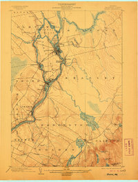
1902 Map of Orono
USGS Topo · Published 1906About this map
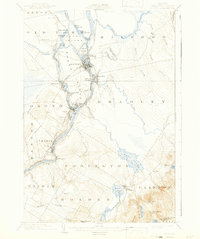
Marsh Island serves as the industrial and academic heart of this Penobscot River valley survey, defined by the dual channels of the Penobscot River and the Stillwater River. The landscape at the turn of the century shows a dense network of mill settlements and river-dependent commerce, from Oldtown and Milford in the north down to Basin Mills and Veazie. The University stands just north of Orono, while transport is facilitated by a complex mix of the Maine Central RR, the Bangor and Aroostook RR, and an Electric RR line. Notable is the inclusion of a dedicated Bicycle Path leading toward Bangor. East of the river, the terrain rises toward Blackcap, dotted with water bodies like Chemo Pond and Davis Pond, where small settlements like East Eddington and Clifton mark the transition toward the more interior highlands of Hancock County.
Find a feature on this map
64 named features on this map. Tap any name to fly to it.
Don’t see what you’re looking for? This feature index may not catch every label — zoom into the map to look around manually.
Map Details
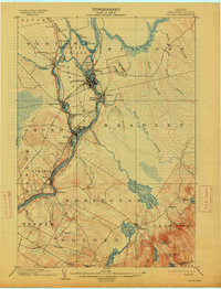
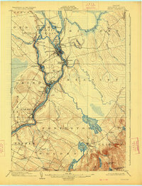
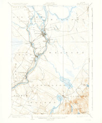
Editions of this 1902 Orono Map
6 editions found
Other maps of this area

1900 · Orland
USGS Topo · 1:62,500

1900 · Bucksport
USGS Topo · 1:62,500

1902 · Orono
USGS Topo · 1:62,500

1902 · Bucksport
USGS Topo · 1:62,500

1902 · Bangor
USGS Topo · 1:62,500

1911 · Ellsworth
USGS Topo · 1:62,500

1917 · Passadumkeag
USGS Topo · 1:62,500

1929 · Great Pond
USGS Topo · 1:48,000

1931 · Saponac
USGS Topo · 1:48,000

1932 · Great Pond
USGS Topo · 1:62,500