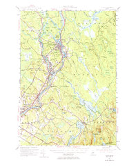
1955 Map of Orono
USGS Topo · Published 1974About this map
Indian Island and the University of Maine anchor this mid-century portrait of the Penobscot River corridor. The river serves as the primary geographic axis, connecting the industrial and academic hubs of Old Town, Milford, and Orono. A distinct shift from the settled riverfronts to the expansive eastern wetlands is evident, with Sunkhaze Meadows and Chemo Bog dominating the interior landscape. Traces of early 20th-century industry and community are scattered throughout the quadrangle, including the Maine Central Railroad line and smaller settlements like French Settlement and Basin Mills. Genealogists may find value in the precise locations of several burial grounds, such as Riverside Cem and Woodlawn Cem. To the east, the landscape transitions toward the high ground of Pisgah Mtn, where the Roosevelt Boy Scout Camp sits near Fitts Pond, illustrating the area's use for managed forestry and recreation.
Find a feature on this map
97 named features on this map. Tap any name to fly to it.
Don’t see what you’re looking for? This feature index may not catch every label — zoom into the map to look around manually.
Map Details
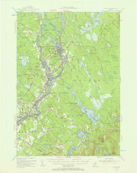
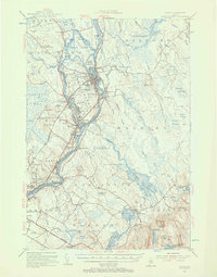
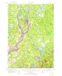
Editions of this 1955 Orono Map
4 editions found
Other maps of this area

1900 · Orland
USGS Topo · 1:62,500

1900 · Bucksport
USGS Topo · 1:62,500

1902 · Orono
USGS Topo · 1:62,500

1902 · Bucksport
USGS Topo · 1:62,500

1902 · Bangor
USGS Topo · 1:62,500

1911 · Ellsworth
USGS Topo · 1:62,500

1917 · Passadumkeag
USGS Topo · 1:62,500

1929 · Great Pond
USGS Topo · 1:48,000

1931 · Saponac
USGS Topo · 1:48,000

1932 · Great Pond
USGS Topo · 1:62,500