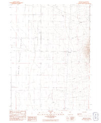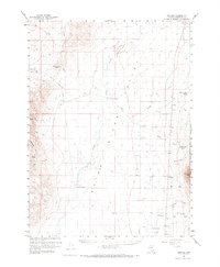
1959 Map of Orovada
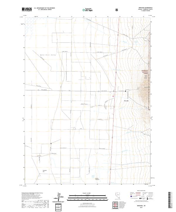
USGS Topo · Published 1973About this map
The Quinn River Valley defines this section of northern Nevada, where the desert landscape is punctuated by the established outposts of the ranching industry. Recorded in 1959, the settlement pattern centers on family and commercial operations like Home Ranch, Willow Creek Ranch, and Riverside Ranch, which rely on the drainage of the Quinn River and its tributaries. To the east, the rising terrain of the Humboldt National Forest and Sawtooth Mtn provides a sharp vertical contrast to the valley floor, while Thacker Pass and Sentinel Rock mark significant passage points through the western heights. The network of jeep trails and scattered wells suggests the remote nature of the region, where places like McConnell and Orovada serve as primary points of human activity amidst the expansive basin and range topography.
Find a feature on this map
32 named features on this map. Tap any name to fly to it.
Don’t see what you’re looking for? This feature index may not catch every label — zoom into the map to look around manually.
Map Details
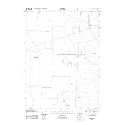
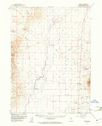
Editions of this 1959 Orovada Map
2 editions found
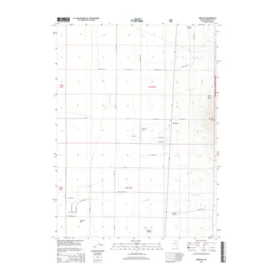
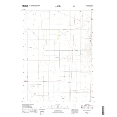
Historical Maps of Orovada Through Time
6 maps found