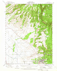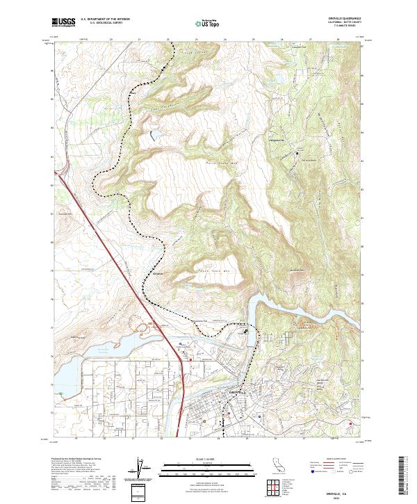
2022 Map of Oroville
USGS Topo · Published 2022About this map
South Table Mtn and North Table Mtn dominate this portion of the northern Sacramento Valley, where the volcanic plateaus overlook the winding course of the Feather River. The city of Oroville serves as the focal point, situated at the base of these distinctive landforms where the Thermalito-Power-Canal and Thermalito Forebay reflect modern water management infrastructure. Historical settlement patterns are preserved in the locations of Oregon City and Thompson Flat, both of which are accompanied by early burial grounds like the Oregon City Cem and Thompson Flat Cem.
Find a feature on this map
152 named features on this map. Tap any name to fly to it.
Don’t see what you’re looking for? This feature index may not catch every label — zoom into the map to look around manually.
Map Details
Editions of this 2022 Oroville Map
This is the sole edition of this map. No revisions or reprints were ever made.
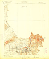
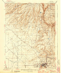
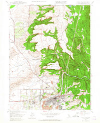
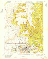
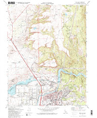
Historical Maps of Oroville Through Time
7 maps found