Loading...
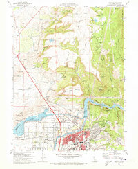
Loading map...1970 Map of Oroville
USGS Topo · Published 1973About this map
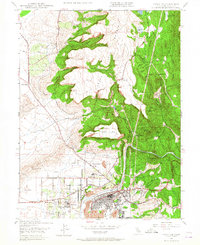
Oroville is presented here during a period of massive hydraulic transformation following the completion of the Oroville Dam project. The landscape is defined by the heavy engineering of the Feather River, including the Thermalito Diversion Pool, the Thermalito Forebay, and the extensive Thermalito Power Canal. These modern water features contrast sharply with the older industrial layers of the region, such as the historic Miocene Canal and the extensive dredge tailings south of the city, which mark the legacy of gold dredging.
Find a feature on this map
91 named features on this map. Tap any name to fly to it.
Don’t see what you’re looking for? This feature index may not catch every label — zoom into the map to look around manually.
Map Details
Date Portrayed1970
Date Published1973
PublisherU.S. Geological Survey
Map TypeTopographic
Scale1:24000
Physical Dimensions21.9 x 26.7 inches
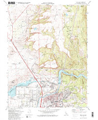
Editions of this 1970 Oroville Map
2 editions found
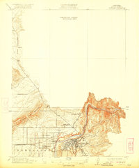
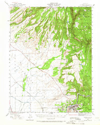
Historical Maps of Oroville Through Time
7 maps found
Featured Locations
Source Details
SourceU.S. Geological Survey
CopyrightPublic Domain