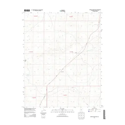
2013 Map of Orphan Annie Rock
USGS Topo · Published 2013About this map
Orphan Annie Rock stands as a prominent landmark in this high-desert landscape of McKinley County, marking a region defined by its expansive arroyos and ranching history. The terrain is deeply etched by seasonal watercourses such as the Sandoval Arroyo and the North Fork Arroyo Chico, which drain the surrounding mesas. Human activity is evidenced by scattered infrastructure, including the Escondido Ranch and the vital water source at Orphan Annie Tank. Modern transport through this part of the Eastern Navajo Agency is facilitated by NM-509 and local routes like CO Road 19, providing a record of the connectivity between isolated ranch sites and the broader New Mexico plateau at the start of the twenty-first century.
Find a feature on this map
15 named features on this map. Tap any name to fly to it.
Don’t see what you’re looking for? This feature index may not catch every label — zoom into the map to look around manually.
Map Details
Editions of this 2013 Orphan Annie Rock Map
This is the sole edition of this map. No revisions or reprints were ever made.
Other maps of this area
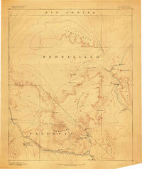
1883 · Mt. Taylor
USGS Topo · 1:250,000
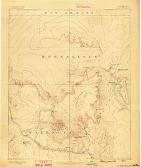
1886 · Mt. Taylor
USGS Topo · 1:250,000
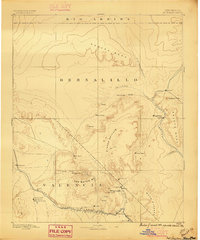
1892 · Mt. Taylor
USGS Topo · 1:250,000
1899 · Mt. Taylor
USGS Topo · 1:250,000
1958 · Albuquerque
USGS Topo · 1:250,000
1961 · Piedra De La Aguila
USGS Topo · 1:24,000
1961 · Whitehorse
USGS Topo · 1:24,000
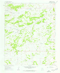
1961 · Hospah
USGS Topo · 1:24,000
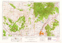
1962 · Albuquerque
USGS Topo · 1:250,000
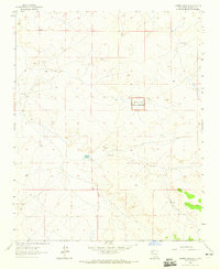
1963 · Laguna Castillo
USGS Topo · 1:24,000