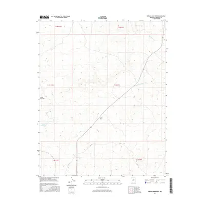
2017 Map of Orphan Annie Rock
USGS Topo · Published 2017About this map
Orphan Annie Rock stands as a prominent landmark in this high-desert landscape of McKinley County, within the Eastern Navajo Agency. The terrain is defined by a network of drainage systems, most notably Inditos Draw and the Sandoval Arroyo to the north, which carve through the arid plateaus. The map documents a sparse human footprint, centered on the primary route of Co Rd 19 as it traverses the southern and central sections of the quadrangle. Water resources, critical in this environment, are represented by features such as Orphan Annie Tank. The survey also details the N Fork Sand Springs Arroyo, illustrating the complex natural irrigation and erosion patterns that have shaped this portion of New Mexico. This representation provides a clear view of the topographical relief and seasonal watercourses as they existed in the mid-2010s.
Find a feature on this map
12 named features on this map. Tap any name to fly to it.
Don’t see what you’re looking for? This feature index may not catch every label — zoom into the map to look around manually.
Map Details
Editions of this 2017 Orphan Annie Rock Map
This is the sole edition of this map. No revisions or reprints were ever made.
Other maps of this area
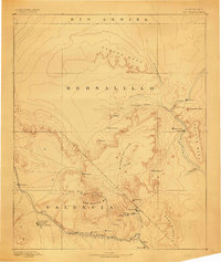
1883 · Mt. Taylor
USGS Topo · 1:250,000
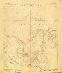
1886 · Mt. Taylor
USGS Topo · 1:250,000
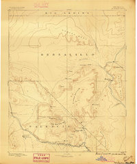
1892 · Mt. Taylor
USGS Topo · 1:250,000
1899 · Mt. Taylor
USGS Topo · 1:250,000
1958 · Albuquerque
USGS Topo · 1:250,000
1961 · Piedra De La Aguila
USGS Topo · 1:24,000
1961 · Whitehorse
USGS Topo · 1:24,000
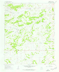
1961 · Hospah
USGS Topo · 1:24,000
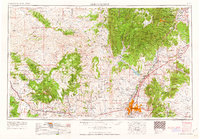
1962 · Albuquerque
USGS Topo · 1:250,000
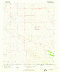
1963 · Laguna Castillo
USGS Topo · 1:24,000