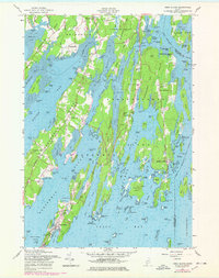
1957 Map of Orrs Island
USGS Topo · Published 1978About this map
U S Naval Air Station occupies a significant portion of the northern peninsula between Buttermilk Cove and Harpswell Cove, marking a major mid-century military presence in this coastal landscape. The map centers on the intricate fingers of Harpswell Neck and Merepoint Neck as they reach into Casco Bay, illustrating a maritime economy defined by sheltered harbors like Cundys Harbor and Orrs Island. Shoreline revisions from the 1970s appear alongside 1950s cultural data, showing the evolution of coastal settlements and road networks like State Route 24. Inland, rural life is rooted at Harpswell Center and the Harpswell Islands School, while the eastern boundary follows the New Meadows River separating Cumberland and Sagadahoc counties. Small landing sites and family-named points, such as Pennellville and Dyer Corner, highlight the long-standing community structure of these Maine peninsulas.
Find a feature on this map
149 named features on this map. Tap any name to fly to it.
Don’t see what you’re looking for? This feature index may not catch every label — zoom into the map to look around manually.
Map Details
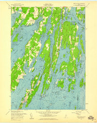
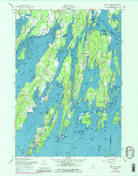
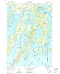
Editions of this 1957 Orrs Island Map
4 editions found
Other maps of this area

1892 · Freeport
USGS Topo · 1:62,500

1893 · Small Point
USGS Topo · 1:62,500

1893 · Casco Bay
USGS Topo · 1:62,500

1894 · Bath
USGS Topo · 1:62,500

1914 · Casco Bay
USGS Topo · 1:48,000

1916 · Casco Bay
USGS Topo · 1:62,500

1916 · Portland And Vicinity
USGS Topo · 1:62,500

1918 · Portland And Vicinity
USGS Topo · 1:62,500

1919 · Small Point
USGS Topo · 1:62,500

1920 · Bath
USGS Topo · 1:62,500