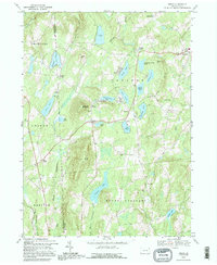
1992 Map of Orson
USGS Topo · Published 1995About this map
Mount Ararat rises above a lake-studded landscape along the border of Wayne and Susquehanna counties, marking the divide where the West Branch Lackawanna River and East Branch Lackawanna River begin their southward descent. This 1992 inspection reveals a rural interior defined by its water bodies and high-elevation settlements, from Lakewood in the northeast to the hamlet of Orson. The area's mid-century transportation and industry are preserved through labels for the Lackawanna Railroad and an Old Railroad Grade that once connected these isolated uplands. Local life is anchored by community landmarks such as Orson Ch, Free Ch, and the Township Sch. Numerous glacial features like Lake Lorain, Independent Lake, and Belmont Lake dominate the terrain, suggesting a history of seasonal recreation and mountain farming established long before the modern era.
Find a feature on this map
51 named features on this map. Tap any name to fly to it.
Don’t see what you’re looking for? This feature index may not catch every label — zoom into the map to look around manually.
Map Details
Editions of this 1992 Orson Map
This is the sole edition of this map. No revisions or reprints were ever made.
Other maps of this area

1892 · Honesdale
USGS Topo · 1:62,500

1892 · Dundaff
USGS Topo · 1:62,500

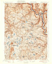
1924 · Starrucca
USGS Topo · 1:48,000

1926 · Starrucca
USGS Topo · 1:62,500

1930 · Starrucca
USGS Topo · 1:48,000

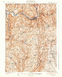
1932 · Susquehanna
USGS Topo · 1:62,500
1933 · Starrucca
USGS Topo · 1:62,500
1935 · Susquehanna
USGS Topo · 1:62,500

1943 · Honesdale
USGS Topo · 1:125,000
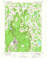
1946 · Forest City
USGS Topo · 1:24,000
Featured Places
- Ararat Township, PA
- Preston Township, PA
- Herrick Township, PA
- East Ararat, Ararat Township
- Poyntelle, Preston Township