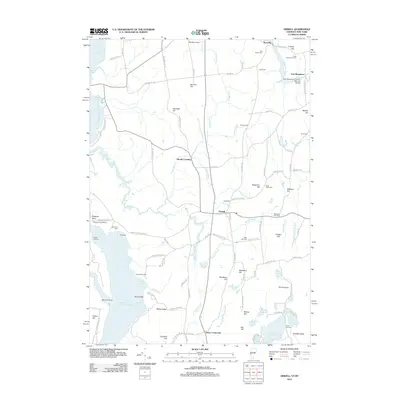
2012 Map of Orwell
USGS Topo · Published 2012About this map
The town of Orwell serves as the focal point of this Vermont landscape, where the agrarian uplands meet the eastern shore of Lake Champlain. Along the waterfront, maritime infrastructure like Orwell Landing, Chipman Point Marina, and the Orwell Bluff Light highlight the long-standing importance of lake transit and recreation. Inland, the terrain is defined by a series of named elevations including Needham Hill, Daigneau Hill, and Hardigan Hill, which separate the various tributaries of the Lemon Fair River and East Creek.
Find a feature on this map
114 named features on this map. Tap any name to fly to it.
Don’t see what you’re looking for? This feature index may not catch every label — zoom into the map to look around manually.
Map Details
Editions of this 2012 Orwell Map
This is the sole edition of this map. No revisions or reprints were ever made.
Other maps of this area

1893 · Whitehall
USGS Topo · 1:62,500

1894 · Ticonderoga
USGS Topo · 1:62,500

1895 · Whitehall
USGS Topo · 1:62,500

1895 · Castleton
USGS Topo · 1:62,500

1896 · Ticonderoga
USGS Topo · 1:62,500

1897 · Castleton
USGS Topo · 1:62,500

1898 · Whitehall
USGS Topo · 1:62,500

1902 · Whitehall
USGS Topo · 1:62,500

1902 · Ticonderoga
USGS Topo · 1:62,500

1902 · Brandon
USGS Topo · 1:62,500