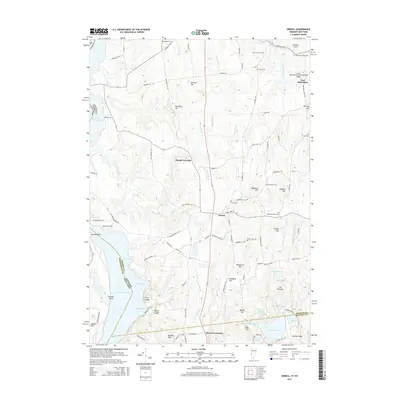
2015 Map of Orwell
USGS Topo · Published 2015About this map
Lake Champlain forms the western boundary of this landscape, where the waters of Benson Bay, Allen Bay, and Stevens Bay meet the Vermont shoreline. The interior is defined by a dense network of drainage, including the Lemon Fair River and the branching reaches of East Creek. These waterways once supported the agricultural and industrial growth of the region, evident in the numerous small family and community burial grounds like Rich Family Cem and Peter Hall Cem that dot the countryside.
Find a feature on this map
118 named features on this map. Tap any name to fly to it.
Don’t see what you’re looking for? This feature index may not catch every label — zoom into the map to look around manually.
Map Details
Editions of this 2015 Orwell Map
This is the sole edition of this map. No revisions or reprints were ever made.
Other maps of this area

1893 · Whitehall
USGS Topo · 1:62,500

1894 · Ticonderoga
USGS Topo · 1:62,500

1895 · Whitehall
USGS Topo · 1:62,500

1895 · Castleton
USGS Topo · 1:62,500

1896 · Ticonderoga
USGS Topo · 1:62,500

1897 · Castleton
USGS Topo · 1:62,500

1898 · Whitehall
USGS Topo · 1:62,500

1902 · Whitehall
USGS Topo · 1:62,500

1902 · Ticonderoga
USGS Topo · 1:62,500

1902 · Brandon
USGS Topo · 1:62,500