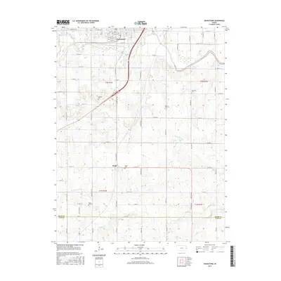
2015 Map of Osawatomie
USGS Topo · Published 2015About this map
The Marais des Cygnes River and Pottawatomie Creek converge at the northern edge of this Kansas landscape, defining the historic settlement of Osawatomie. The town's grid is preserved with local landmarks like John Brown Hwy, Main St, and Pacific Ave. Moving south, the terrain opens into a network of section roads and small-scale agriculture, where the community of Beagle serves as a secondary focal point.
Find a feature on this map
60 named features on this map. Tap any name to fly to it.
Don’t see what you’re looking for? This feature index may not catch every label — zoom into the map to look around manually.
Map Details
Editions of this 2015 Osawatomie Map
This is the sole edition of this map. No revisions or reprints were ever made.
Other maps of this area

1885 · Garnett
USGS Topo · 1:125,000

1885 · Lawrence
USGS Topo · 1:125,000

1887 · Olathe
USGS Topo · 1:125,000

1887 · Mound City
USGS Topo · 1:125,000

1889 · Lawrence
USGS Topo · 1:125,000

1893 · Mound City
USGS Topo · 1:125,000

1893 · Olathe
USGS Topo · 1:125,000

1894 · Garnett
USGS Topo · 1:125,000

1947 · Lawrence
USGS Topo · 1:250,000

1950 · Lawrence
USGS Topo · 1:250,000