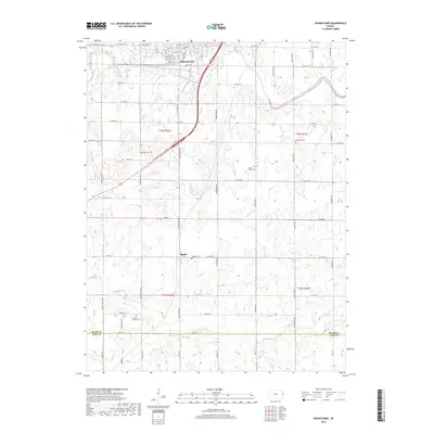
2018 Map of Osawatomie
USGS Topo · Published 2018About this map
Osawatomie sits at the confluence of the Marais des Cygnes River and Pottawatomie Creek, a landscape defined by its waterways and historic road network. The town's grid is dense with named thoroughfares like Pacific Ave and Main St, while the E Flint Hills Nature Trail traces a path through the northern outskirts. This contemporary record captures the region's agricultural character, dotted with small family and community burial grounds such as Brown Cem and Lessenden Cem.
Find a feature on this map
61 named features on this map. Tap any name to fly to it.
Don’t see what you’re looking for? This feature index may not catch every label — zoom into the map to look around manually.
Map Details
Editions of this 2018 Osawatomie Map
This is the sole edition of this map. No revisions or reprints were ever made.
Other maps of this area

1885 · Garnett
USGS Topo · 1:125,000

1885 · Lawrence
USGS Topo · 1:125,000

1887 · Olathe
USGS Topo · 1:125,000

1887 · Mound City
USGS Topo · 1:125,000

1889 · Lawrence
USGS Topo · 1:125,000

1893 · Mound City
USGS Topo · 1:125,000

1893 · Olathe
USGS Topo · 1:125,000

1894 · Garnett
USGS Topo · 1:125,000

1947 · Lawrence
USGS Topo · 1:250,000

1950 · Lawrence
USGS Topo · 1:250,000