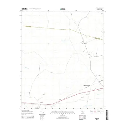
2014 Map of Osborn
USGS Topo · Published 2014About this map
Osborn and Ravenel anchor the southern reaches of this Lowcountry landscape, situated along the vital corridor of the Savannah Hwy. The map documents a rural network defined by historic intersections, including Delemar Crossroads, Warren Crossroads, and Capwells Crossroads, which together suggest a long-standing pattern of settlement and local commerce. This coastal plain geography is deeply influenced by its watercourses, with Mellichamp Br and Middle Br threading through the terrain.
Find a feature on this map
35 named features on this map. Tap any name to fly to it.
Don’t see what you’re looking for? This feature index may not catch every label — zoom into the map to look around manually.
Map Details
Editions of this 2014 Osborn Map
This is the sole edition of this map. No revisions or reprints were ever made.
Other maps of this area

1918 · Cottageville
USGS Topo · 1:62,500

1919 · Edisto Island
USGS Topo · 1:62,500

1919 · Wadmelaw Island
USGS Topo · 1:62,500

1920 · Ravenels
USGS Topo · 1:62,500

1943 · Cottageville
USGS Topo · 1:62,500

1943 · Edisto Island
USGS Topo · 1:62,500

1944 · Ravenels
USGS Topo · 1:62,500

1944 · Wadmelaw Island
USGS Topo · 1:62,500

1947 · Savannah
USGS Topo · 1:250,000

1948 · Savannah
USGS Topo · 1:250,000