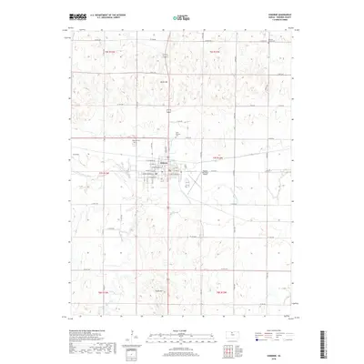
2018 Map of Osborne
USGS Topo · Published 2018About this map
The South Fork Solomon River defines the central valley of this North Central Kansas landscape, where the city of Osborne serves as the primary hub of commerce and transit. The town’s grid is clearly delineated, showing a concentration of activity along W Main St and W Washington St. The surrounding topography is marked by significant elevations like North Hill and South Hill, which frame the river valley. Local history and genealogy are well-represented by several burial grounds, including the Osborne Cem and Saint Aloysius Cem near the town center, and the more distant Bethany Center Cem to the northeast. Beyond the municipal limits, the Osborne Municipal Airport and a network of county roads like Co Rd 388 connect the agricultural hinterland, drained by waterways such as Indian Cr and Covert Cr.
Find a feature on this map
37 named features on this map. Tap any name to fly to it.
Don’t see what you’re looking for? This feature index may not catch every label — zoom into the map to look around manually.
Map Details
Editions of this 2018 Osborne Map
This is the sole edition of this map. No revisions or reprints were ever made.
Other maps of this area

1893 · Smith Center
USGS Topo · 1:125,000

1896 · Osborne
USGS Topo · 1:125,000

1953 · Downs South
USGS Topo · 1:24,000

1953 · Bloomington
USGS Topo · 1:24,000

1953 · Osborne
USGS Topo · 1:24,000

1955 · Beloit
USGS Topo · 1:250,000

1959 · Beloit
USGS Topo · 1:250,000

1960 · Downs North
USGS Topo · 1:24,000

1961 · Portis
USGS Topo · 1:24,000

1961 · Harlan
USGS Topo · 1:24,000