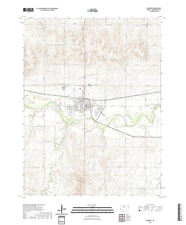
2022 Map of Osborne
USGS Topo · Published 2022About this map
The Osborne County Courthouse serves as the central landmark for this north-central Kansas town, which is established along the banks of the South Fork Solomon River. The urban layout of Osborne features a classic grid of residential and commercial streets, including W Main St and E Main St, situated between the prominent elevations of North Hill and South Hill. To the east of the town center, the Osborne Municipal Airport provides an essential connection point for this rural agricultural hub.
Find a feature on this map
53 named features on this map. Tap any name to fly to it.
Don’t see what you’re looking for? This feature index may not catch every label — zoom into the map to look around manually.
Map Details
Editions of this 2022 Osborne Map
This is the sole edition of this map. No revisions or reprints were ever made.
Other maps of this area

1893 · Smith Center
USGS Topo · 1:125,000

1896 · Osborne
USGS Topo · 1:125,000

1953 · Downs South
USGS Topo · 1:24,000

1953 · Bloomington
USGS Topo · 1:24,000

1953 · Osborne
USGS Topo · 1:24,000

1955 · Beloit
USGS Topo · 1:250,000

1959 · Beloit
USGS Topo · 1:250,000

1960 · Downs North
USGS Topo · 1:24,000

1961 · Portis
USGS Topo · 1:24,000

1961 · Harlan
USGS Topo · 1:24,000