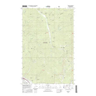
2017 Map of Osburn
USGS Topo · Published 2017About this map
Osburn serves as the anchor for this mountain landscape, located at the southwestern edge of a region defined by complex gulches and steep ridgelines within the Coeur d'Alene National Forest. The map documents a network of high-elevation passes and mining-era settlements, including Delta, Thiard, and Ferguson. Transport across the difficult terrain is facilitated by Beaver Creek and the high Dobson Pass, while smaller outposts like Carbon Center and Bunn are situated near drainage points for Nine Mile Creek and Canyon Creek. The topography is densely named, with numerous local landmarks such as Dago Peak, Capital Hill, and the descriptive No Name Gulch. This 2017 survey reflects modern land management, showing an extensive network of off-highway vehicle routes like the Scott Gulch OHV and Deer Kid OHV winding through the timber and former mining claims.
Find a feature on this map
81 named features on this map. Tap any name to fly to it.
Don’t see what you’re looking for? This feature index may not catch every label — zoom into the map to look around manually.
Map Details
Editions of this 2017 Osburn Map
This is the sole edition of this map. No revisions or reprints were ever made.
Other maps of this area
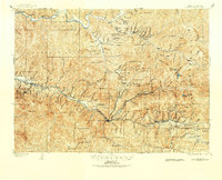
1901 · Coeur D'Alene District
USGS Topo · 1:62,500
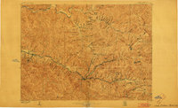
1903 · Coeur D'Alene District
USGS Topo · 1:62,500
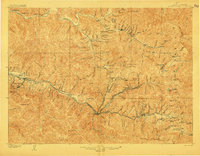
1906 · Coeur D'Alene District
USGS Topo · 1:62,500
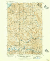
1909 · Cataldo
USGS Topo · 1:125,000
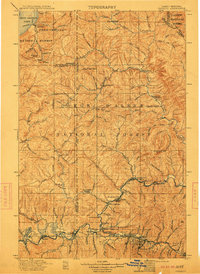
1911 · Cataldo
USGS Topo · 1:125,000
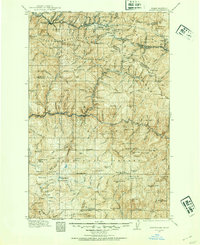
1914 · Avery
USGS Topo · 1:125,000
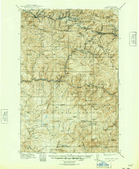
1917 · Avery
USGS Topo · 1:125,000
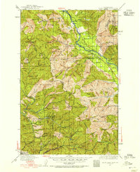
1932 · Trout Creek
USGS Topo · 1:125,000
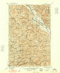
1935 · Trout Creek
USGS Topo · 1:125,000
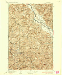
1936 · Trout Creek
USGS Topo · 1:125,000