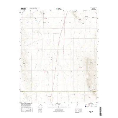
2017 Map of Oscura
USGS Topo · Published 2017About this map
Oscura sits at the heart of this high-desert landscape in Lincoln County, where the transition between the Tularosa Basin and the surrounding highlands is marked by a series of prominent peaks and canyons. The presence of Cora Crew and Kimmons suggests the enduring character of these rural outposts, while the terrain is defined by a succession of named ridges and hills, including Bull Gap Ridge, Milagro Hill, and the Phillips Hills. Water remains the critical factor for survival and settlement in this arid environment, evidenced by scattered water sources like Milagro Springs, Phillips Springs, and Lopez Spring. Along the eastern edge of the quadrangle, the topography rises sharply toward Jackass Mtn and the Godfrey Hills, creating a natural barrier that funnels movement through features like Lopez Canyon. Transportation across the basin is facilitated by a network of range roads and highways such as Oscuro Range Rd and Wsmr S RT 313.
Find a feature on this map
27 named features on this map. Tap any name to fly to it.
Don’t see what you’re looking for? This feature index may not catch every label — zoom into the map to look around manually.
Map Details
Editions of this 2017 Oscura Map
This is the sole edition of this map. No revisions or reprints were ever made.
Other maps of this area
1916 · Tularosa
USGS Topo · 1:125,000
1918 · Oscura Peak
USGS Topo · 1:125,000
1938 · Carrizozo
USGS Topo · 1:48,000
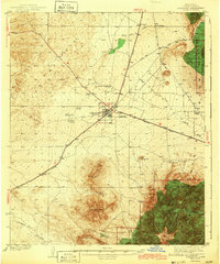
1943 · Carrizozo
USGS Topo · 1:62,500
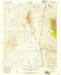
1947 · Three Rivers
USGS Topo · 1:62,500
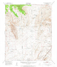
1948 · Chihuahua Ranch
USGS Topo · 1:62,500
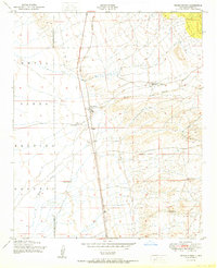
1950 · Three Rivers
USGS Topo · 1:24,000
1950 · Oscura
USGS Topo · 1:24,000
1950 · Carrizozo
USGS Topo · 1:62,500
1950 · Sierra Blanca Peak
USGS Topo · 1:62,500