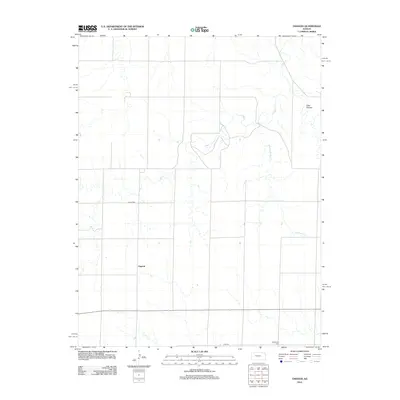
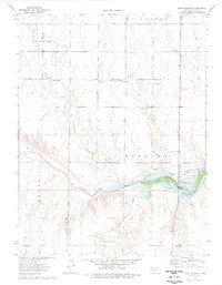
2012 Map of Osgood
USGS Topo · Published 2012About this map
Osgood and its surrounding plains are documented in this 2012 topographic record, showing the rural character of Ness County. The landscape is defined by the drainage patterns of Page Cr and Big Rimber Cr, which carve through the prairie towards more pronounced terrain like Goat Canyon in the northeast. This map is particularly valuable for genealogical research, as it identifies localized burial sites such as Cyrus Cem and Vansburgh Cem that anchor the history of early families in the area. The section-line road network, including E 250 RD, illustrates the enduring structure of Kansas land division, connecting isolated homesteads and agricultural tracts across the western reaches of the state.
Find a feature on this map
7 named features on this map. Tap any name to fly to it.
Don’t see what you’re looking for? This feature index may not catch every label — zoom into the map to look around manually.
Map Details
Editions of this 2012 Osgood Map
This is the sole edition of this map. No revisions or reprints were ever made.
Other maps of this area

1893 · Ellis
USGS Topo · 1:125,000

1955 · Great Bend
USGS Topo · 1:250,000

1957 · Great Bend
USGS Topo · 1:250,000

1958 · Great Bend
USGS Topo · 1:250,000

1966 · Ransom SE
USGS Topo · 1:24,000

1966 · Mc Cracken SW
USGS Topo · 1:24,000
1966 · Ransom SW
USGS Topo · 1:24,000
1974 · Cedar Bluff Dam
USGS Topo · 1:24,000
1974 · Cedar Bluff
USGS Topo · 1:24,000
1974 · Fort Downer
USGS Topo · 1:24,000