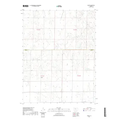
2018 Map of Osgood
USGS Topo · Published 2018About this map
Osgood and the surrounding plains of the Ness and Trego county line are captured here in a landscape defined by sharp drainage breaks and remote homestead connections. The settlement of Osgood sits as a central point of reference amidst a network of section-line roads, including 280 Ave and EE Rd. The terrain is carved by the winding paths of Page Cr and Big Rimber Cr, which create distinct topographic shifts in an otherwise level prairie. Of particular interest to family historians are the isolated burial sites, including the Cyrus Cem and Brownwell Cem, located far from modern urban centers. Prominent natural features like Cedar Gorge and Goat Canyon highlight the erosional patterns of the High Plains, where the Kansas earth drops away into steep-walled draws.
Find a feature on this map
25 named features on this map. Tap any name to fly to it.
Don’t see what you’re looking for? This feature index may not catch every label — zoom into the map to look around manually.
Map Details
Editions of this 2018 Osgood Map
This is the sole edition of this map. No revisions or reprints were ever made.
Other maps of this area
1893 · Ellis
USGS Topo · 1:125,000

1955 · Great Bend
USGS Topo · 1:250,000

1957 · Great Bend
USGS Topo · 1:250,000

1958 · Great Bend
USGS Topo · 1:250,000
1966 · Ransom SE
USGS Topo · 1:24,000
1966 · Mc Cracken SW
USGS Topo · 1:24,000
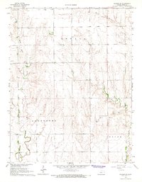
1966 · Ransom SW
USGS Topo · 1:24,000
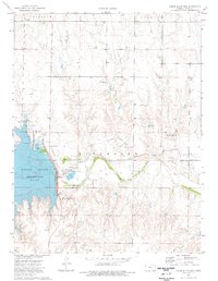
1974 · Cedar Bluff Dam
USGS Topo · 1:24,000
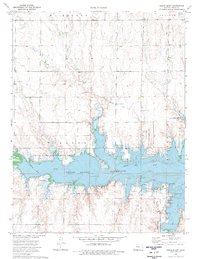
1974 · Cedar Bluff
USGS Topo · 1:24,000
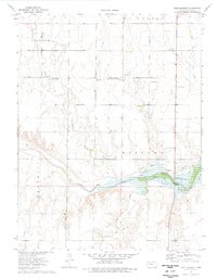
1974 · Fort Downer
USGS Topo · 1:24,000