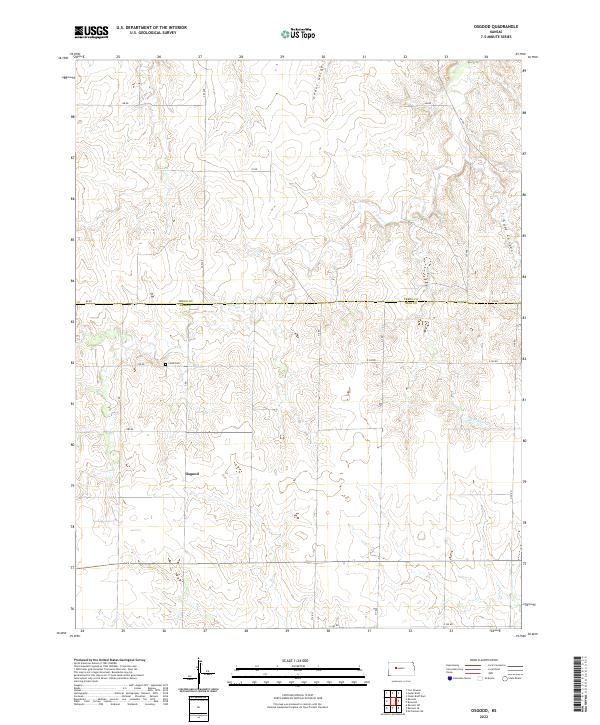
2022 Map of Osgood
USGS Topo · Published 2022About this map
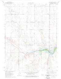
Osgood lies at the heart of this Western Kansas landscape, situated near the boundary between Trego and Ness Counties. The terrain is defined by a series of drainage systems, most notably Page Cr, Cedar Gorge, and Big Rimber Cr, which cut through the high plains. The agricultural grid is well-established, with roads like BB RD and Ee RD following section lines across the township boundaries of t15s r23w and t16s r23w. For local historians and genealogists, the inclusion of Cyrus Cem provides a specific point of interest for family research in this sparsely populated region. The topography reveals significant natural depressions such as Goat Canyon, illustrating the gradual erosion of the prairie into more complex relief as one moves toward the creek beds.
Find a feature on this map
26 named features on this map. Tap any name to fly to it.
Don’t see what you’re looking for? This feature index may not catch every label — zoom into the map to look around manually.
Map Details
Editions of this 2022 Osgood Map
This is the sole edition of this map. No revisions or reprints were ever made.
Other maps of this area

1893 · Ellis
USGS Topo · 1:125,000

1955 · Great Bend
USGS Topo · 1:250,000

1957 · Great Bend
USGS Topo · 1:250,000

1958 · Great Bend
USGS Topo · 1:250,000

1966 · Ransom SE
USGS Topo · 1:24,000

1966 · Mc Cracken SW
USGS Topo · 1:24,000
1966 · Ransom SW
USGS Topo · 1:24,000
1974 · Cedar Bluff Dam
USGS Topo · 1:24,000
1974 · Cedar Bluff
USGS Topo · 1:24,000
1974 · Fort Downer
USGS Topo · 1:24,000