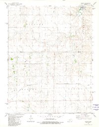
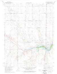
1980 Map of Osgood
USGS Topo · Published 1981About this map
The Missouri Pacific railroad corridor cuts across the heart of this Ness County landscape, anchoring the small settlement of Osgood. This 1980 survey captures a region defined by its drainage systems and resource extraction, with several Quarry sites and Oil Wells scattered across the plains of Nevada and Waring townships. To the north, the terrain shifts significantly as the Cedar Bluff Reservoir meets the State Game Management Area, where features like Cedar Gorge and Goat Canyon provide sharp topographic contrast to the surrounding agricultural flats.
Find a feature on this map
18 named features on this map. Tap any name to fly to it.
Don’t see what you’re looking for? This feature index may not catch every label — zoom into the map to look around manually.
Map Details
Editions of this 1980 Osgood Map
This is the sole edition of this map. No revisions or reprints were ever made.
Other maps of this area

1893 · Ellis
USGS Topo · 1:125,000

1955 · Great Bend
USGS Topo · 1:250,000

1957 · Great Bend
USGS Topo · 1:250,000

1958 · Great Bend
USGS Topo · 1:250,000

1966 · Ransom SE
USGS Topo · 1:24,000

1966 · Mc Cracken SW
USGS Topo · 1:24,000
1966 · Ransom SW
USGS Topo · 1:24,000
1974 · Cedar Bluff Dam
USGS Topo · 1:24,000
1974 · Cedar Bluff
USGS Topo · 1:24,000
1974 · Fort Downer
USGS Topo · 1:24,000