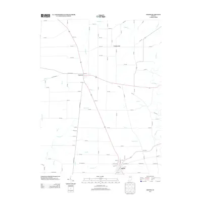
2013 Map of Osgood
USGS Topo · Published 2013About this map
Osgood and Napoleon anchor this 2013 landscape in Ripley County, Indiana, where the rural grid is intersected by the diagonal legacy of the N Old Michigan Rd. The area is defined by a dense network of waterways feeding into Laughery Cr, which meanders across the northeast and central portions of the quadrangle. The settlement of Laugheryville sits just north of this drainage, highlighting the historic relationship between local hamlets and the creek system.
Find a feature on this map
67 named features on this map. Tap any name to fly to it.
Don’t see what you’re looking for? This feature index may not catch every label — zoom into the map to look around manually.
Map Details
Editions of this 2013 Osgood Map
This is the sole edition of this map. No revisions or reprints were ever made.
Other maps of this area

1946 · Versailles
USGS Topo · 1:24,000

1946 · Milan
USGS Topo · 1:24,000

1946 · Pierceville
USGS Topo · 1:24,000

1946 · Batesville
USGS Topo · 1:24,000

1946 · Osgood
USGS Topo · 1:24,000

1946 · New Point
USGS Topo · 1:24,000

1953 · Cincinnati
USGS Topo · 1:250,000

1957 · Cincinnati
USGS Topo · 1:250,000

1958 · Greensburg
USGS Topo · 1:24,000

1958 · Millhousen
USGS Topo · 1:24,000