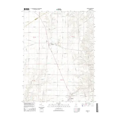
2016 Map of Osgood
USGS Topo · Published 2016About this map
Osgood and Napoleon anchor this 2016 survey of northwestern Ripley County, where the landscape is defined by the dendritic drainage patterns of Laughery Creek and its many tributaries. The area maintains a traditional Midwestern grid of county roads, such as W Co Rd 1100 N and W Fairground Ave, which navigate the elevation changes created by Hickory Lick Cr and Little Otter Cr. This modern map preserves the locations of several historic burial grounds, including Saint Maurice Cem and Boocher Cem, providing a precise spatial record for genealogical research. The boundary between Decatur Co and Ripley Co cuts across the northwest corner, marking a transition in the local jurisdiction. The terrain is notably dissected by watercourses like Jericho Cr and Plum Cr, which create complex contouring amidst the otherwise orderly agricultural sections.
Find a feature on this map
58 named features on this map. Tap any name to fly to it.
Don’t see what you’re looking for? This feature index may not catch every label — zoom into the map to look around manually.
Map Details
Editions of this 2016 Osgood Map
This is the sole edition of this map. No revisions or reprints were ever made.
Other maps of this area

1946 · Versailles
USGS Topo · 1:24,000

1946 · Milan
USGS Topo · 1:24,000

1946 · Pierceville
USGS Topo · 1:24,000

1946 · Batesville
USGS Topo · 1:24,000

1946 · Osgood
USGS Topo · 1:24,000

1946 · New Point
USGS Topo · 1:24,000

1953 · Cincinnati
USGS Topo · 1:250,000

1957 · Cincinnati
USGS Topo · 1:250,000

1958 · Greensburg
USGS Topo · 1:24,000

1958 · Millhousen
USGS Topo · 1:24,000