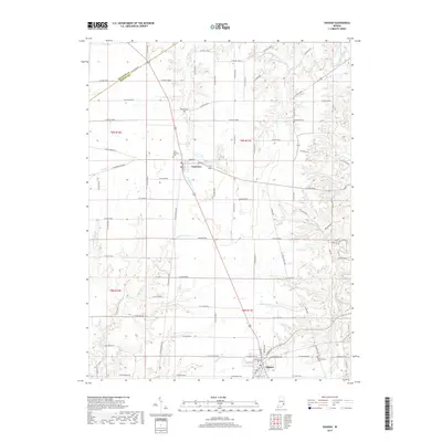
2019 Map of Osgood
USGS Topo · Published 2019About this map
Napoleon and Osgood anchor this survey of the Ripley County countryside, where the terrain is defined by a dense network of waterways including Laughery Creek and its many tributaries. The settlement pattern follows a traditional Midwestern grid, yet the irregular paths of Little Otter Cr, Plum Cr, and Hickory Lick Cr create a complex topography of local ridges and valleys. Genealogists will find significant value in the documentation of numerous small burial grounds, such as Booher Cem, Old Salem Cem, and the Saint Maurice Cem near the northern edge of the map. These sites, along with Perseverance Cem and Greendale Cem, represent the enduring family and community heritage of this agricultural region in the early 21st century.
Find a feature on this map
58 named features on this map. Tap any name to fly to it.
Don’t see what you’re looking for? This feature index may not catch every label — zoom into the map to look around manually.
Map Details
Editions of this 2019 Osgood Map
This is the sole edition of this map. No revisions or reprints were ever made.
Other maps of this area
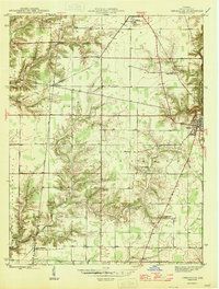
1946 · Versailles
USGS Topo · 1:24,000
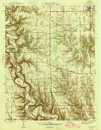
1946 · Milan
USGS Topo · 1:24,000
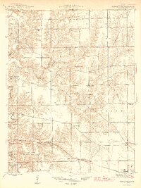
1946 · Pierceville
USGS Topo · 1:24,000
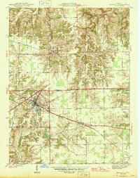
1946 · Batesville
USGS Topo · 1:24,000
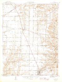
1946 · Osgood
USGS Topo · 1:24,000
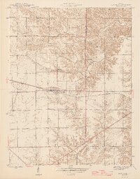
1946 · New Point
USGS Topo · 1:24,000
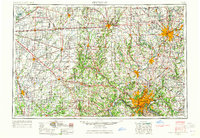
1953 · Cincinnati
USGS Topo · 1:250,000
1957 · Cincinnati
USGS Topo · 1:250,000
1958 · Greensburg
USGS Topo · 1:24,000
1958 · Millhousen
USGS Topo · 1:24,000