2021 Map of Oshkosh
USGS Topo · Published 2021About this map
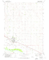
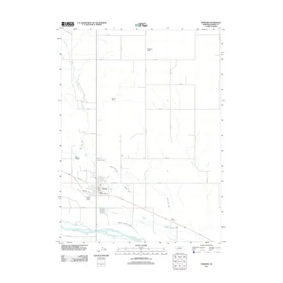
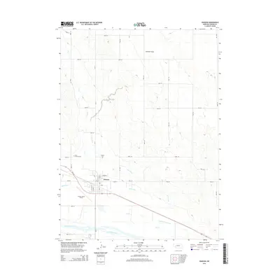
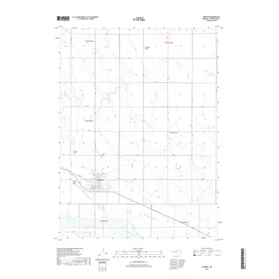
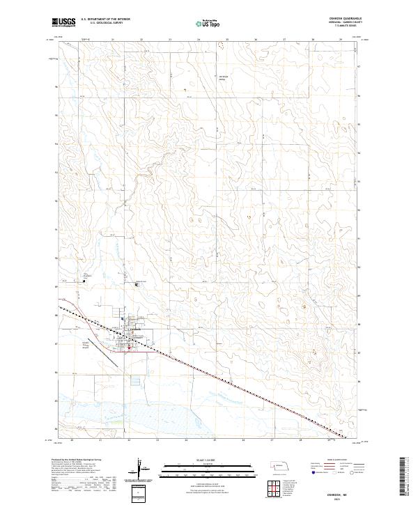
Oshkosh serves as the focal point of this Garden County landscape, situated along the north bank of the North Platte River. The town's administrative significance is marked by the Garden County Courthouse, while the surrounding geography is defined by an intricate network of irrigation systems, including the Oshkosh Canal, the N River Canal, and the Midland Overland Canal. These waterways underscore the region's agricultural reliance on the river as it flows through the Nebraska panhandle.
Find a feature on this map
31 named features on this map. Tap any name to fly to it.
Don’t see what you’re looking for? This feature index may not catch every label — zoom into the map to look around manually.
Map Details
Editions of this 2021 Oshkosh Map
This is the sole edition of this map. No revisions or reprints were ever made.
Historical Maps of Oshkosh Through Time
5 maps found