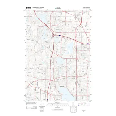
2013 Map of Osseo
USGS Topo · Published 2013About this map
The settlement of Osseo sits at the heart of this suburban landscape, where the traditional grid of the town center meets the expanding residential and commercial developments of Hennepin County. The area is defined by a dense concentration of local heritage sites, including numerous historic burial grounds such as Saint Vincent Cem, Brooklyn and Maple Grove Union-Cem, and Gethsemane Cem. These cemeteries, alongside the Saint Joseph Catholic Cem and Herzl Cem, provide a significant genealogical record for the community's diverse religious and ethnic history.
Find a feature on this map
219 named features on this map. Tap any name to fly to it.
Don’t see what you’re looking for? This feature index may not catch every label — zoom into the map to look around manually.
Map Details
Editions of this 2013 Osseo Map
This is the sole edition of this map. No revisions or reprints were ever made.
Other maps of this area

1896 · Minneapolis
USGS Topo · 1:62,500

1901 · Minneapolis
USGS Topo · 1:62,500

1902 · Anoka
USGS Topo · 1:62,500

1905 · Minnetonka
USGS Topo · 1:62,500

1907 · Minnetonka
USGS Topo · 1:62,500

1909 · Rockford
USGS Topo · 1:62,500

1952 · Minneapolis North
USGS Topo · 1:24,000

1952 · Minneapolis South
USGS Topo · 1:24,000

1953 · Saint Paul
USGS Topo · 1:250,000

1953 · Stillwater
USGS Topo · 1:250,000