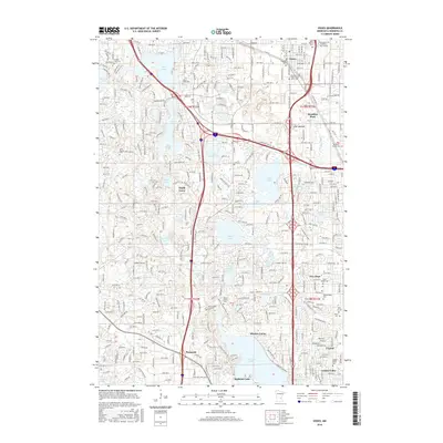
2016 Map of Osseo
USGS Topo · Published 2016About this map
Medicine Lake and the residential expansion of the northern Twin Cities suburbs define this landscape, where early pioneer burial grounds remain preserved amidst modern development. Significant genealogical records are found at numerous local sites, including the Saint Joseph Catholic Cem and the Brooklyn-Crystal Cem. The terrain is shaped by a dense network of glacial water bodies, from the large Rice Lake in the north to Eagle Lake and the smaller Meadow Lake in the east.
Find a feature on this map
52 named features on this map. Tap any name to fly to it.
Don’t see what you’re looking for? This feature index may not catch every label — zoom into the map to look around manually.
Map Details
Editions of this 2016 Osseo Map
This is the sole edition of this map. No revisions or reprints were ever made.
Other maps of this area

1896 · Minneapolis
USGS Topo · 1:62,500

1901 · Minneapolis
USGS Topo · 1:62,500

1902 · Anoka
USGS Topo · 1:62,500

1905 · Minnetonka
USGS Topo · 1:62,500

1907 · Minnetonka
USGS Topo · 1:62,500

1909 · Rockford
USGS Topo · 1:62,500

1952 · Minneapolis North
USGS Topo · 1:24,000

1952 · Minneapolis South
USGS Topo · 1:24,000

1953 · Saint Paul
USGS Topo · 1:250,000

1953 · Stillwater
USGS Topo · 1:250,000