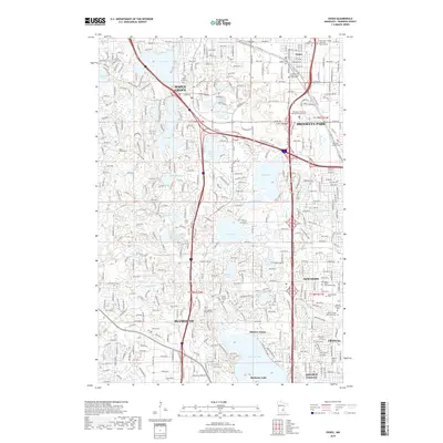
2019 Map of Osseo
USGS Topo · Published 2019About this map
Maple Grove and Brooklyn Park form the heart of this suburban landscape, characterized by a complex network of glacial lakes and modern transportation corridors. The area's history is preserved in its numerous cemeteries, ranging from the central Union Cem and Niggler Cem in Osseo to the Adath Chesed Shel Emes Cem further south. The hydrography of the region is a defining feature, with the large expanse of Medicine Lake anchoring the southern edge, while smaller bodies like Fish Lake, Eagle Lake, and Bass Lake are integrated into the residential fabric of Plymouth and New Hope. Educational and institutional landmarks such as the Hennepin Technical College-Brooklyn Park and Mission Farms illustrate the diverse land use in this part of Hennepin County.
Find a feature on this map
53 named features on this map. Tap any name to fly to it.
Don’t see what you’re looking for? This feature index may not catch every label — zoom into the map to look around manually.
Map Details
Editions of this 2019 Osseo Map
This is the sole edition of this map. No revisions or reprints were ever made.
Other maps of this area

1896 · Minneapolis
USGS Topo · 1:62,500

1901 · Minneapolis
USGS Topo · 1:62,500

1902 · Anoka
USGS Topo · 1:62,500

1905 · Minnetonka
USGS Topo · 1:62,500

1907 · Minnetonka
USGS Topo · 1:62,500

1909 · Rockford
USGS Topo · 1:62,500

1952 · Minneapolis North
USGS Topo · 1:24,000

1952 · Minneapolis South
USGS Topo · 1:24,000

1953 · Saint Paul
USGS Topo · 1:250,000

1953 · Stillwater
USGS Topo · 1:250,000