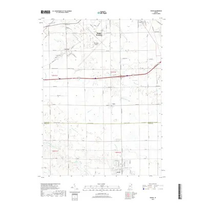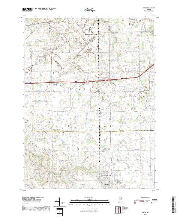
2022 Map of Ossian
USGS Topo · Published 2022About this map
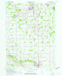
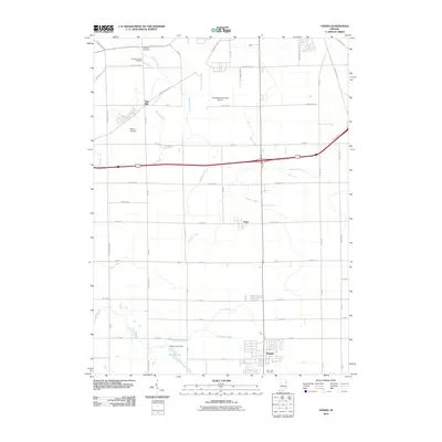
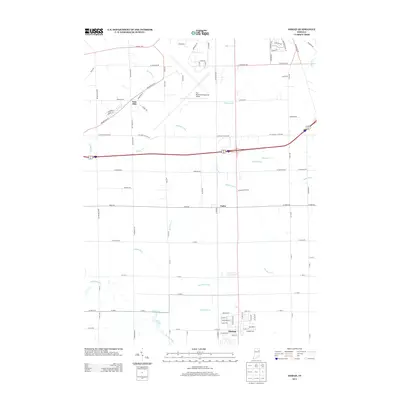
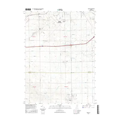
Ossian anchors the southern portion of this landscape at the junction of the Wells and Allen county line, serving as a gateway to a region defined by its managed watercourses and aviation infrastructure. To the north, the sprawling grounds of the Fort Wayne International Airport dominate the area around Fort Wayne, bordered by technical roads like Airway Ave and Perimeter Rd. This modern development contrasts with the older settlement patterns found at Nine Mile and Yoder, where small-scale agriculture is sustained by an intricate network of drainage systems including Harber Ditch, Brindle Ditch, and Eightmile Cr.
Find a feature on this map
94 named features on this map. Tap any name to fly to it.
Don’t see what you’re looking for? This feature index may not catch every label — zoom into the map to look around manually.
Map Details
Editions of this 2022 Ossian Map
This is the sole edition of this map. No revisions or reprints were ever made.
Historical Maps of Fort Wayne Through Time
6 maps found