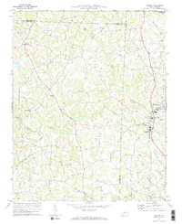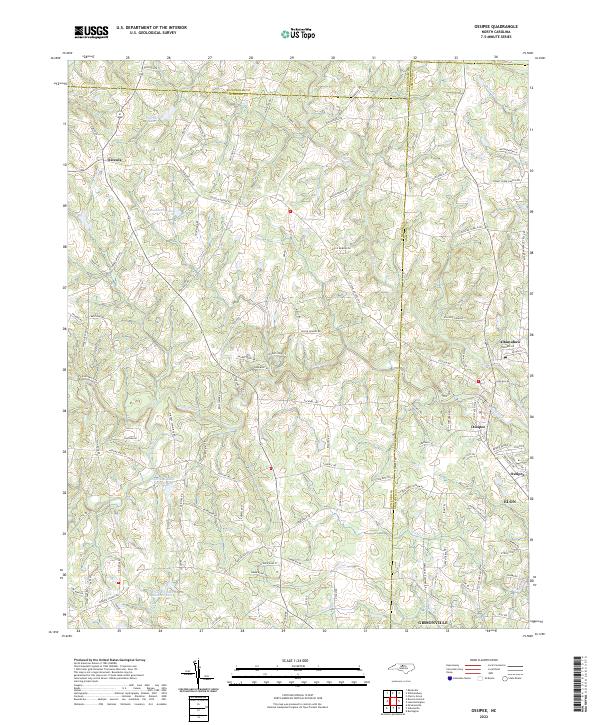
2022 Map of Ossipee
USGS Topo · Published 2022About this map
The Haw River carves a winding path through the borderlands of Guilford, Alamance, and Rockingham counties in this 2022 survey. This Piedmont landscape is characterized by a network of drainage systems like Reedy Fork and Buffalo Creek, which feed into local impoundments such as Pritchett Lake and Buckhorn Lake. The map details the transition from rural crossroads like Osceola to the more developed corridors of Altamahaw and Ossipee. The southern edge of the sheet captures the northern reaches of Elon and Gibsonville, illustrating the outward expansion of these communities toward the river. A dense web of family-named roads, including Troxler Mill Rd and Jug House Rd, reflects the longstanding agricultural and mill-based settlement patterns of the region. Local landmarks like the Altamahaw Race Track Rd hint at the cultural footprint of the area beyond its traditional farming roots.
Find a feature on this map
111 named features on this map. Tap any name to fly to it.
Don’t see what you’re looking for? This feature index may not catch every label — zoom into the map to look around manually.
Map Details
Editions of this 2022 Ossipee Map
This is the sole edition of this map. No revisions or reprints were ever made.