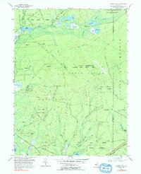
1955 Map of Oswego Lake
USGS Topo · Published 1992About this map
Oswego Lake and the winding Oswego River anchor this mid-century survey of the New Jersey Pine Barrens, a landscape defined by its complex network of water and sand. The map reveals an area managed for both natural resources and defense, featuring extensive Cranberry Bogs and several Reservoirs in the north, contrasted with the US Naval Reservation Warren Grove Target Area further south.
Find a feature on this map
48 named features on this map. Tap any name to fly to it.
Don’t see what you’re looking for? This feature index may not catch every label — zoom into the map to look around manually.
Map Details
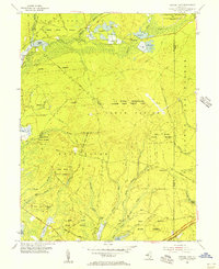
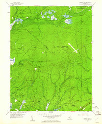
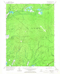
Editions of this 1955 Oswego Lake Map
4 editions found
Other maps of this area

1884 · Whitings
USGS Topo · 1:62,500

1888 · Pemberton
USGS Topo · 1:62,500

1888 · Little Egg Harbor
USGS Topo · 1:62,500

1888 · Whitings
USGS Topo · 1:62,500

1890 · Mullica
USGS Topo · 1:62,500

1893 · Little Egg Harbor
USGS Topo · 1:62,500

1894 · Pemberton
USGS Topo · 1:62,500

1894 · Mullica
USGS Topo · 1:62,500

1898 · Pemberton
USGS Topo · 1:62,500

1898 · Mullica
USGS Topo · 1:62,500
Featured Places
- Stafford Township, NJ
- Little Egg Harbor Township, NJ
- Bass River Township, NJ
- Washington Township, NJ
- Sim Place, Bass River Township