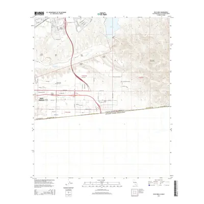
2015 Map of Otay Mesa
USGS Topo · Published 2015About this map
Otay Mesa and the international border between the United States of America and Estados Unidos Mexicanos define the southern edge of this 2015 survey. The landscape is a study in contrasting land use, from the dense suburban street networks near Olympic Pky and Birch Rd to the industrial and aviation hubs surrounding Brown Field Municipal Airport. The central terrain is carved by the Otay River as it flows through Otay Valley, passing below the San Ysidro Mountains.
Find a feature on this map
102 named features on this map. Tap any name to fly to it.
Don’t see what you’re looking for? This feature index may not catch every label — zoom into the map to look around manually.
Map Details
Editions of this 2015 Otay Mesa Map
This is the sole edition of this map. No revisions or reprints were ever made.
Other maps of this area

1903 · Cuyamaca
USGS Topo · 1:125,000

1904 · San Diego
USGS Topo · 1:62,500

1904 · Southern California Sheet No. 2
USGS Topo · 1:250,000

1930 · San Diego
USGS Topo · 1:62,500
1943 · San Ysidro
USGS Topo · 1:31,680

1943 · Jamul
USGS Topo · 1:62,500
1944 · National City
USGS Topo · 1:31,680

1950 · San Diego
USGS Topo · 1:250,000
1953 · San Ysidro
USGS Topo · 1:24,000
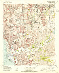
1953 · National City
USGS Topo · 1:24,000