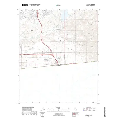
2018 Map of Otay Mesa
USGS Topo · Published 2018About this map
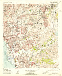
The international boundary between the United States of America and Mexico anchors the southern edge of this landscape, where the urban expansion of San Diego and Chula Vista meets the steep ascent of the San Ysidro Mountains. This modern era survey illustrates the complex infrastructure required for border-region commerce and utility, featuring the sprawling Brown Field Municipal Airport and the massive Second San Diego Aqueduct cutting through the terrain. The hydrology of the region is defined by the Otay River corridor, which feeds into the River Bottom Reservoir and is overlooked by prominent heights like Rock Mtn. Steep drainages such as Wolf Canyon and O'Neal Canyon illustrate the transition from developed mesas to the untamed highland canyons of the far southwest.
Find a feature on this map
76 named features on this map. Tap any name to fly to it.
Don’t see what you’re looking for? This feature index may not catch every label — zoom into the map to look around manually.
Map Details
Editions of this 2018 Otay Mesa Map
This is the sole edition of this map. No revisions or reprints were ever made.
Other maps of this area

1903 · Cuyamaca
USGS Topo · 1:125,000

1904 · San Diego
USGS Topo · 1:62,500

1904 · Southern California Sheet No. 2
USGS Topo · 1:250,000

1930 · San Diego
USGS Topo · 1:62,500
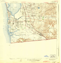
1943 · San Ysidro
USGS Topo · 1:31,680

1943 · Jamul
USGS Topo · 1:62,500
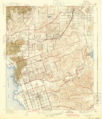
1944 · National City
USGS Topo · 1:31,680

1950 · San Diego
USGS Topo · 1:250,000
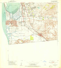
1953 · San Ysidro
USGS Topo · 1:24,000
1953 · National City
USGS Topo · 1:24,000