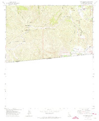
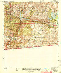
1972 Map of Otay Mountain
USGS Topo · Published 1974About this map
The San Ysidro Mountains define this international border landscape in the early 1970s, where steep ridgelines and deep canyons meet the United States Mexico boundary. The map documents the high-elevation terrain of Otay Mountain, a site of critical communication infrastructure as evidenced by multiple Radio Towers and the Otay Mountain Truck Trail. At Doghouse Junction, these specialized access roads converge, providing a look at the technical and defensive management of the high ground overlooking the Tijuana River.
Find a feature on this map
35 named features on this map. Tap any name to fly to it.
Don’t see what you’re looking for? This feature index may not catch every label — zoom into the map to look around manually.
Map Details
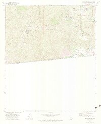
Editions of this 1972 Otay Mountain Map
3 editions found

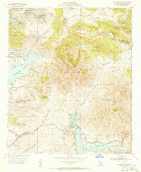
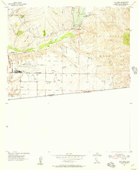
Other maps of this area

1903 · Cuyamaca
USGS Topo · 1:125,000

1904 · Southern California Sheet No. 2
USGS Topo · 1:250,000
1942 · Potrero
USGS Topo · 1:48,000
1943 · Jamul
USGS Topo · 1:62,500
1944 · Potrero
USGS Topo · 1:62,500

1950 · San Diego
USGS Topo · 1:250,000

1954 · San Diego
USGS Topo · 1:250,000

1955 · San Diego
USGS Topo · 1:250,000
1955 · Jamul Mountains
USGS Topo · 1:24,000
1955 · Otay Mesa
USGS Topo · 1:24,000