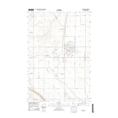
2014 Map of Othello
USGS Topo · Published 2014About this map
Othello stands as the primary hub of this eastern Washington landscape, shown here at the intersection of Wa-26 and Wa-17. The map documents a highly structured agricultural and transportation grid, where named roads like W Cunningham Rd and W Bench Rd divide the territory into distinct sections. To the north, the Adams Cem and Ochoa Field Airport provide specific points of interest for genealogists and local historians tracing the development of the Columbia Basin Project's influence on regional infrastructure.
Find a feature on this map
57 named features on this map. Tap any name to fly to it.
Don’t see what you’re looking for? This feature index may not catch every label — zoom into the map to look around manually.
Map Details
Editions of this 2014 Othello Map
This is the sole edition of this map. No revisions or reprints were ever made.
Other maps of this area

1923 · Corfu
USGS Topo · 1:62,500

1924 · Othello
USGS Topo · 1:62,500

1924 · Hanford
USGS Topo · 1:62,500

1925 · Scooteney Lake
USGS Topo · 1:62,500

1951 · Scooteney Lake
USGS Topo · 1:62,500

1951 · Corfu
USGS Topo · 1:62,500

1951 · Hanford
USGS Topo · 1:62,500

1953 · Walla Walla
USGS Topo · 1:250,000

1954 · Bruce
USGS Topo · 1:24,000

1954 · Warden
USGS Topo · 1:24,000