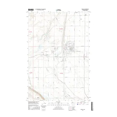
2017 Map of Othello
USGS Topo · Published 2017About this map
The city of Othello serves as the central hub of this Columbia Basin landscape, showing a dense residential and commercial grid that transitions into organized agricultural tracts. In the northeast, the Novara area and Ochoa Field mark the high desert plains, while the northern edge of the Saddle Mountains rises in the southwest corner. The region is defined by a meticulous network of section roads, such as W Cunningham Rd and W Bench Rd, supporting the local irrigation and farming economy. Notable community landmarks include the American Legion Adams Cem and the Bud Memorial Walking Trl, which provides a recreational corridor through the urban center of Othello.
Find a feature on this map
39 named features on this map. Tap any name to fly to it.
Don’t see what you’re looking for? This feature index may not catch every label — zoom into the map to look around manually.
Map Details
Editions of this 2017 Othello Map
This is the sole edition of this map. No revisions or reprints were ever made.
Other maps of this area

1923 · Corfu
USGS Topo · 1:62,500

1924 · Othello
USGS Topo · 1:62,500

1924 · Hanford
USGS Topo · 1:62,500

1925 · Scooteney Lake
USGS Topo · 1:62,500

1951 · Scooteney Lake
USGS Topo · 1:62,500

1951 · Corfu
USGS Topo · 1:62,500

1951 · Hanford
USGS Topo · 1:62,500

1953 · Walla Walla
USGS Topo · 1:250,000

1954 · Bruce
USGS Topo · 1:24,000

1954 · Warden
USGS Topo · 1:24,000