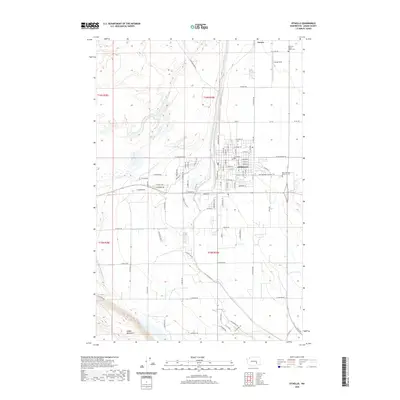
2020 Map of Othello
USGS Topo · Published 2020About this map
Othello serves as a critical junction for the surrounding agricultural landscape of Adams County, defined by the irrigation infrastructure of the Potholes Canal. This 2020 survey reveals the modern residential street grid of the city, showing a network of tree-named corridors such as E Pine St, E Larch St, and E Spruce St near the central Po. The landscape is a study in planned water management, where the canal cuts a straight line through the basin while the southern horizon is anchored by the rising slopes of the Saddle Mountains. Local landmarks like Ochoa Field and the Bud Memorial Walking Trl reflect the community's development, while the American Legion Adams Cem and Bess Hamilton Memorial Cem provide important reference points for genealogists tracing family ties to this portion of the Columbia Basin.
Find a feature on this map
89 named features on this map. Tap any name to fly to it.
Don’t see what you’re looking for? This feature index may not catch every label — zoom into the map to look around manually.
Map Details
Editions of this 2020 Othello Map
This is the sole edition of this map. No revisions or reprints were ever made.
Other maps of this area

1923 · Corfu
USGS Topo · 1:62,500

1924 · Othello
USGS Topo · 1:62,500

1924 · Hanford
USGS Topo · 1:62,500

1925 · Scooteney Lake
USGS Topo · 1:62,500

1951 · Scooteney Lake
USGS Topo · 1:62,500

1951 · Corfu
USGS Topo · 1:62,500

1951 · Hanford
USGS Topo · 1:62,500

1953 · Walla Walla
USGS Topo · 1:250,000

1954 · Bruce
USGS Topo · 1:24,000

1954 · Warden
USGS Topo · 1:24,000