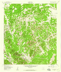
1953 Map of Otis Ridge
USGS Topo · Published 1959About this map
The Camp Bullis Military Reservation dominates this 1950s landscape north of San Antonio, revealing a terrain defined by limestone ridges and strategic observation points. This Army Map Service study captures the military infrastructure of the era, including a Landing Field and numerous named hills used for training, such as Leon Hill and Neutze Hill. Between the military zones, large family-named holdings like the Oppenheimer Ranch and Panther Springs Ranch highlight the enduring ranching character of northern Bexar County before suburban expansion arrived.
Find a feature on this map
61 named features on this map. Tap any name to fly to it.
Don’t see what you’re looking for? This feature index may not catch every label — zoom into the map to look around manually.
Map Details
Editions of this 1953 Otis Ridge Map
This is the sole edition of this map. No revisions or reprints were ever made.
Other maps of this area
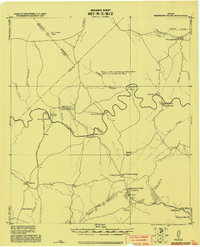
1920 · Smithsons Valley
USGS Topo · 1:62,500
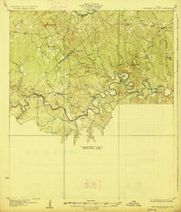
1927 · Smithson Valley
USGS Topo · 1:62,500
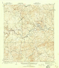
1929 · Smithson Valley
USGS Topo · 1:62,500
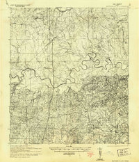
1940 · Smithson Valley
USGS Topo · 1:62,500
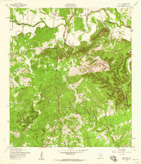
1953 · Bulverde
USGS Topo · 1:24,000
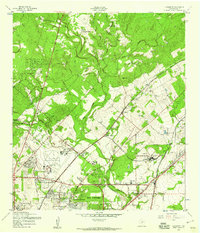
1953 · Longhorn
USGS Topo · 1:24,000
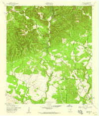
1953 · Helotes
USGS Topo · 1:24,000
1953 · Castle Hills
USGS Topo · 1:24,000
1953 · Van Raub
USGS Topo · 1:24,000

1954 · San Antonio
USGS Topo · 1:250,000