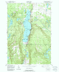
1951 Map of Otsego Lake
USGS Topo · Published 1988About this map
Mid-century recreation and state forestry define the landscape around Otsego Lake during this post-war era. The shoreline is densely populated with seasonal cabins and commercial resorts such as Simpsons Resort, Del Ruth Resort, and Hamlin Otsego Sands Resort, illustrating the area's development as a northern Michigan vacation destination. The presence of the New York Central railroad and Old State Road 618 suggests a well-established transportation corridor serving the small communities of Pearl City and Oak Grove.
Find a feature on this map
86 named features on this map. Tap any name to fly to it.
Don’t see what you’re looking for? This feature index may not catch every label — zoom into the map to look around manually.
Map Details
Editions of this 1951 Otsego Lake Map
5 editions found
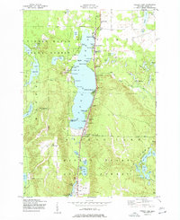
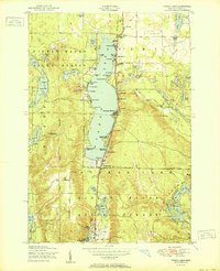
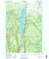
Other maps of this area

1949 · Otsego Lake
USGS Topo · 1:62,500

1950 · Turtle Lake
USGS Topo · 1:24,000

1951 · K P Lake
USGS Topo · 1:24,000

1951 · Big Bradford Lake
USGS Topo · 1:24,000

1951 · Turtle Lake
USGS Topo · 1:24,000

1951 · Otsego Lake
USGS Topo · 1:24,000

1954 · Gaylord
USGS Topo · 1:62,500

1954 · Traverse City
USGS Topo · 1:250,000

1955 · Cheboygan
USGS Topo · 1:250,000

1956 · Alba
USGS Topo · 1:62,500