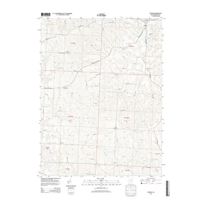
2013 Map of Otsego
USGS Topo · Published 2013About this map
Otsego serves as the primary settlement in this Muskingum County landscape, anchored by the Otsego Methodist Ch and its adjacent cemetery. The terrain is deeply dissected by a network of watercourses, most notably White Eyes Cr, Prairie Fork, and Salt Cr. These valleys dictate the layout of the local road system, where routes like Adamsville Otsego Rd and Friendship Dr follow the natural contours of the land.
Find a feature on this map
67 named features on this map. Tap any name to fly to it.
Don’t see what you’re looking for? This feature index may not catch every label — zoom into the map to look around manually.
Map Details
Editions of this 2013 Otsego Map
This is the sole edition of this map. No revisions or reprints were ever made.
Other maps of this area
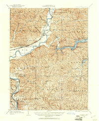
1908 · Conesville
USGS Topo · 1:62,500
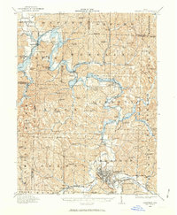
1909 · Cambridge
USGS Topo · 1:62,500
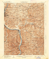
1910 · Philo
USGS Topo · 1:62,500
1910 · Conesville
USGS Topo · 1:62,500
1911 · Cumberland
USGS Topo · 1:62,500
1912 · Cambridge
USGS Topo · 1:62,500
1949 · Clarksburg
USGS Topo · 1:250,000
1951 · Canton
USGS Topo · 1:250,000
1953 · Canton
USGS Topo · 1:250,000
1956 · Clarksburg
USGS Topo · 1:250,000