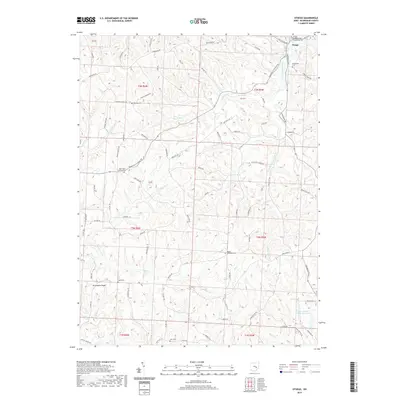
2019 Map of Otsego
USGS Topo · Published 2019About this map
Otsego serves as the focal point of this Muskingum County landscape, situated where Plainfield Rd and Adamsville Otsego Rd converge. The area is defined by a series of high points like Drummond Knob and Grannys Knob, which oversee a network of drainages including White Eyes Cr, Salt Cr, and Prairie Fork. For genealogists, the map is remarkably dense with burial sites, documenting local family and denominational history through Fairview Cem, Richardson Cem, Salem Cem, and the New Hope Lutheran Cem.
Find a feature on this map
85 named features on this map. Tap any name to fly to it.
Don’t see what you’re looking for? This feature index may not catch every label — zoom into the map to look around manually.
Map Details
Editions of this 2019 Otsego Map
This is the sole edition of this map. No revisions or reprints were ever made.
Other maps of this area

1908 · Conesville
USGS Topo · 1:62,500

1909 · Cambridge
USGS Topo · 1:62,500

1910 · Philo
USGS Topo · 1:62,500

1910 · Conesville
USGS Topo · 1:62,500

1911 · Cumberland
USGS Topo · 1:62,500

1912 · Cambridge
USGS Topo · 1:62,500

1949 · Clarksburg
USGS Topo · 1:250,000

1951 · Canton
USGS Topo · 1:250,000

1953 · Canton
USGS Topo · 1:250,000

1956 · Clarksburg
USGS Topo · 1:250,000