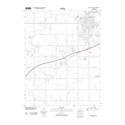
2009 Map of Ottawa South
USGS Topo · Published 2009About this map
The southern portion of Ottawa anchors this 2009 landscape, dominated by the campus of Ottawa University and several historic burial grounds including Hope Cemetery and Highland Cemetery. The Marais des Cygnes River winds through the northern section, regulated by Kiefer Dam, while the terrain to the southwest transitions into the Chippewa Hills and Sand Hills. This era shows the developed suburban grid of Ottawa south of the river, contrasting with the rural expanses of Franklin County where Antioch Cemetery and Saint Johns Cemetery mark earlier rural communities. Transportation infrastructure is prominent, featuring the B N Junction rail intersection and aviation sites like Lemaster Field and the Ottawa Municipal Airport. The map documents a blend of academic tradition, municipal growth, and a landscape still defined by its complex creek systems like Appanoose Creek and Rock Creek.
Find a feature on this map
72 named features on this map. Tap any name to fly to it.
Don’t see what you’re looking for? This feature index may not catch every label — zoom into the map to look around manually.
Map Details
Editions of this 2009 Ottawa South Map
This is the sole edition of this map. No revisions or reprints were ever made.
Other maps of this area

1885 · Garnett
USGS Topo · 1:125,000

1885 · Lawrence
USGS Topo · 1:125,000

1889 · Lawrence
USGS Topo · 1:125,000

1894 · Garnett
USGS Topo · 1:125,000

1947 · Lawrence
USGS Topo · 1:250,000

1950 · Lawrence
USGS Topo · 1:250,000

1956 · Pomona
USGS Topo · 1:24,000

1956 · Ottawa North
USGS Topo · 1:24,000

1956 · Le Loup
USGS Topo · 1:24,000

1956 · Williamsburg
USGS Topo · 1:24,000